
Broomhall, civil parish in Cheshire East, Cheshire, England
Location: Cheshire East
Shares border with: Newhall, Coole Pilate, Sound
GPS coordinates: 53.02151,-2.54702
Latest update: April 5, 2025 01:10
Ball Farmhouse
3.8 km
Moss Hall
3.8 km
Hankelow Hall
3.6 km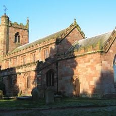
St Margaret's Church
4.1 km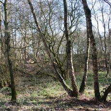
Sound Heath
1.5 km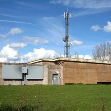
Hack Green Secret Nuclear Bunker
1.2 km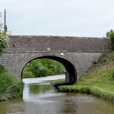
Baddington Lane Bridge No.88
2.4 km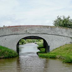
Shropshire Union Canal Main Line. Edleston Bridge Number 89
3.5 km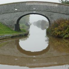
Burrows Bridge No.85
1.2 km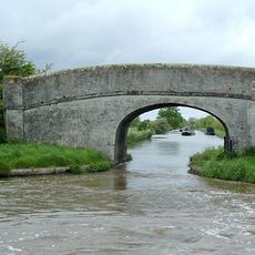
Bennetts Bridge (No 80) At SJ652452
2.8 km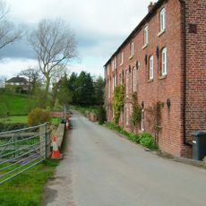
Hankelow Mill
3.3 km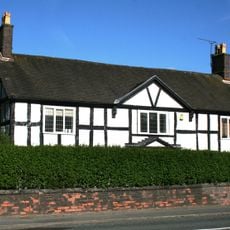
Shrewbridge Cottages
4.1 km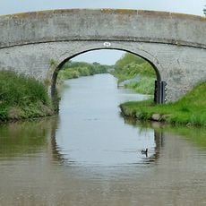
Mickley Bridge No.84
1.2 km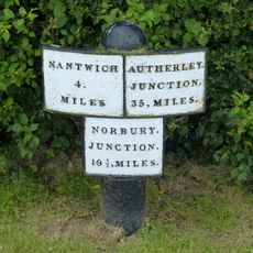
Milepost c 175m south of Mickley Bridge (No. 84)
1.3 km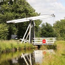
Wrenbury Church Bridge
4 km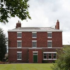
Manor Farmhouse
3.8 km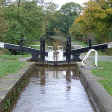
Baddiley Lock Number 2
3.5 km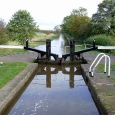
Baddiley Lock Number 3
3.7 km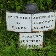
Milepost c 100m north of Baddington Lane Bridge
2.6 km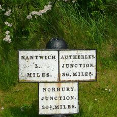
Canal mile post 30m north of Hack Green Bridge
1.4 km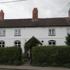
Hawk House
3.9 km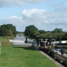
Hack Green Lock No.2
1.4 km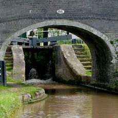
Hack Green Bridge No.86
1.3 km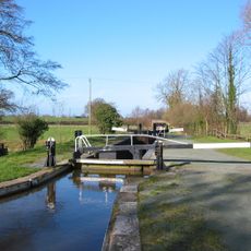
Baddiley Lock Number 1
3.3 km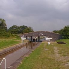
Hack Green Lock No.1
1.3 km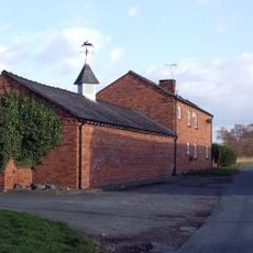
Church House Farmhouse
3.6 km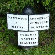
Milepost Circa 230 Metres North Of Bennett's Bridge (No 80) At Sj 652 455
2.5 km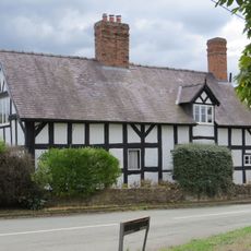
Elm House
4.1 kmReviews
Visited this place? Tap the stars to rate it and share your experience / photos with the community! Try now! You can cancel it anytime.
Discover hidden gems everywhere you go!
From secret cafés to breathtaking viewpoints, skip the crowded tourist spots and find places that match your style. Our app makes it easy with voice search, smart filtering, route optimization, and insider tips from travelers worldwide. Download now for the complete mobile experience.

A unique approach to discovering new places❞
— Le Figaro
All the places worth exploring❞
— France Info
A tailor-made excursion in just a few clicks❞
— 20 Minutes