
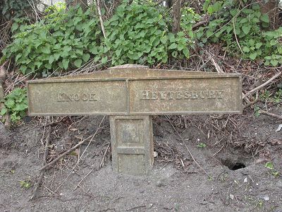
Boundary Post Opposite Junction With B390, boundary marker in Heytesbury, Wiltshire, UK
Location: Heytesbury
Part of: political border
GPS coordinates: 51.18113,-2.09350
Latest update: March 9, 2025 11:21
Scratchbury Camp
2.9 km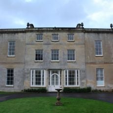
Ashton Gifford House
3.5 km
Knook Castle
2.9 km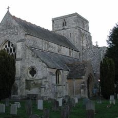
Church of St Peter and St Paul
1.1 km
St Leonard's Church, Sutton Veny
2.9 km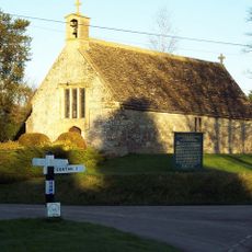
Church of St James
2.3 km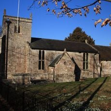
St Augustine's church, Upton Lovell
1.8 km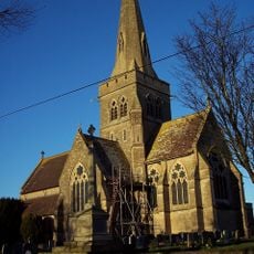
Church of St John the Evangelist
3.4 km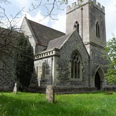
Church of St Mary
3.2 km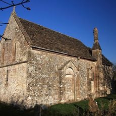
Church of St Margaret
653 m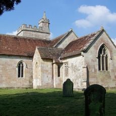
All Saints' Church
3 km
Mile Post About 150 Metres East Of Junction With Park Lane
263 m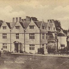
Boyton Manor
3.3 km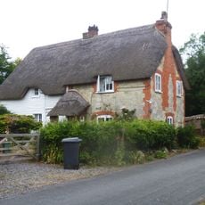
Jubilee Cottage
1.8 km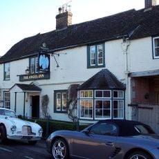
The Angel Hotel
838 m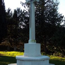
Sutton Veny War Memorial
3.4 km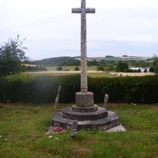
Corton War Memorial
1.9 km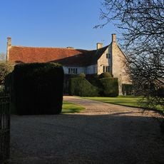
The Manor House
684 m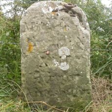
Milestone
2.7 km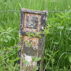
Boundary Post Opposite Entrance To Ashton Gifford House
3.5 km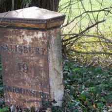
Milepost About 250 Metres West Of Drive To Old Rectory
3.3 km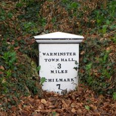
Milepost Opposite Sutton Veny County Primary School
3.4 km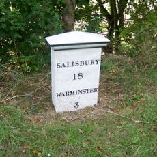
Milepost About 150 Metres To East Of Junction With B3095
1.8 km
47 And 48
1.9 km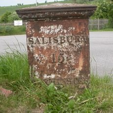
Milepost At South Entrance To The Hillside Cafe
2.8 km
Milestone, Knook Camp; 350m E of entrance W Farm Barns
1 km
Milestone, 100m E jcn road to Norton Bavant 50m E of Langleys Gore
2.4 km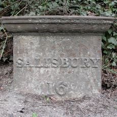
Milepost, Warminster Road; Upton Lovell; 550m W x-road to Upton Lovell
1.2 kmReviews
Visited this place? Tap the stars to rate it and share your experience / photos with the community! Try now! You can cancel it anytime.
Discover hidden gems everywhere you go!
From secret cafés to breathtaking viewpoints, skip the crowded tourist spots and find places that match your style. Our app makes it easy with voice search, smart filtering, route optimization, and insider tips from travelers worldwide. Download now for the complete mobile experience.

A unique approach to discovering new places❞
— Le Figaro
All the places worth exploring❞
— France Info
A tailor-made excursion in just a few clicks❞
— 20 Minutes