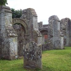
Scratchbury Camp, Iron Age hillfort in Norton Bavant, England
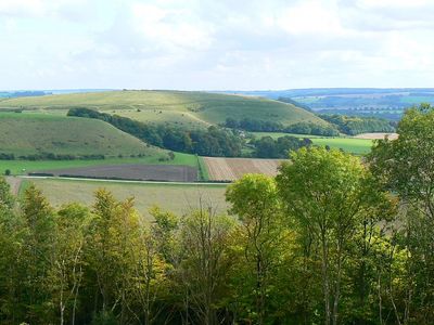
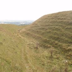
Scratchbury Camp is an Iron Age hillfort spread across 37 acres on a hilltop with defensive ditches and ramparts that follow the natural contours of the land. The fortification uses elevation for protection and contains several archaeological features including burial mounds within its boundaries.
The site originated as a fortification during the Iron Age and was later explored by 19th century archaeologists. Excavations by Sir Richard Colt Hoare and William Cunnington uncovered bone, pottery, flint, brass, and amber jewelry that revealed how people lived at that time.
The hilltop served as a gathering place for Iron Age communities in this region. The seven burial mounds within the fortification show how people honored their dead and reveal details about their social lives.
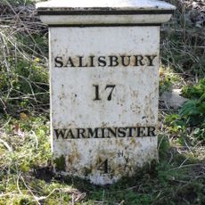
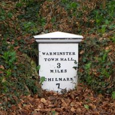
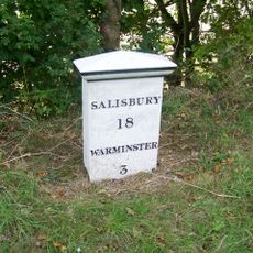
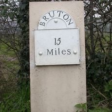
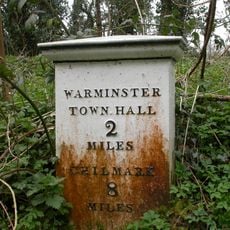
Access to the site is via a steep path from a parking area near the B3414 road leading up to the hilltop. The climb gives you wide views across Salisbury Plain once you reach the top of the fortification.
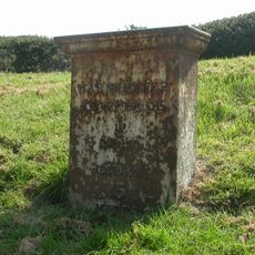
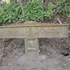
The site is marked with metal posts topped with stars that highlight archaeological points of interest across the grounds. These markers connect the location to the Imber Range Perimeter Path and serve as guides for visitors exploring the terrain.
Location: Norton Bavant
Shares border with: Casterley Camp
GPS coordinates: 51.19732,-2.12617
Latest update: December 12, 2025 07:58
St John's Church, Warminster
2.8 km
Battlesbury Camp
2 km
Church of St Peter and St Paul
2.1 km
St Leonard's Church, Sutton Veny
2.8 km
Church of St James
3.1 km
Church of St John the Evangelist
2.7 km
Church of St Aldhelm
1.8 km
Church of St Margaret
3.5 km
All Saints' Church
1.1 km
Bishopstrow House Hotel
1.5 km
Mile Post About 150 Metres East Of Junction With Park Lane
2.7 km
Turnpike Cottage
3.6 km
The Angel Hotel
2.2 km
Sutton Veny War Memorial
2.8 km
Boundary Post
2.1 km
Milestone
3.6 km
Milepost About 250 Metres West Of Drive To Old Rectory
840 m
Milepost Opposite Sutton Veny County Primary School
2.7 km
The Manor House
3.5 km
Holly Lodge
3 km
Milestone
3.1 km
Boundary Post Opposite Junction With B390
2.9 km
Milestone about 70 yards from turning to Boreham
2.3 km
Milepost About 150 Metres To East Of Junction With B3095
1.5 km
Milestone, Knook Camp; 350m E of entrance W Farm Barns
3.5 km
Milestone, 100m E jcn road to Norton Bavant 50m E of Langleys Gore
1.3 km
Milestone, Boreham Road; 30m SE jct Bishopstrow Road
2.3 km
Milepost, 200m S of A303 jct
2.4 kmVisited this place? Tap the stars to rate it and share your experience / photos with the community! Try now! You can cancel it anytime.
Discover hidden gems everywhere you go!
From secret cafés to breathtaking viewpoints, skip the crowded tourist spots and find places that match your style. Our app makes it easy with voice search, smart filtering, route optimization, and insider tips from travelers worldwide. Download now for the complete mobile experience.
A unique approach to discovering new places❞
— Le Figaro
All the places worth exploring❞
— France Info
A tailor-made excursion in just a few clicks❞
— 20 Minutes