
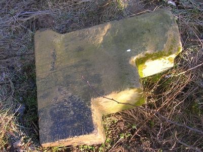
Milepost Approximately 170 Metres To South Of Grange Farmhouse
Milepost Approximately 170 Metres To South Of Grange Farmhouse, milestone in Sutton-on-the-Forest, Hambleton, North Yorkshire, UK
Location: Sutton-on-the-Forest
GPS coordinates: 54.04844,-1.10319
Latest update: March 4, 2025 01:04
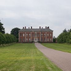
Beningbrough Hall
7.7 km
Sheriff Hutton Castle
7.8 km
Sutton Park
2.8 km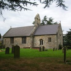
St Everilda's Church, Nether Poppleton
7.1 km
Red House School Chapel
7.5 km
All Saints' Church, Huntington
6.2 km
St Giles' Church, Skelton
5.6 km
Skelton Manor
5.5 km
Nether Poppleton Tithebarn
7.2 km
Church of St Mary
6.6 km
Holy Evangelists Church
4.5 km
Church of St Nicholas
6.1 km
Church of All Hallows
3 km
Church of St Leonard
6.3 km
Church of St Mary
4.3 km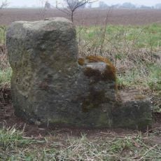
Milestone, N of Sutton on the Forest
4 km
Overton Cross
6.9 km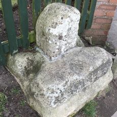
The Village Cross
6.3 km
Parish Hall
7.8 km
Milestone To North Of Warehill Lane At Ngr 527 636
6 km
Milepost Approximately 250 Metres North West Of Blue Bridge
7.4 km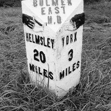
Milepost Opposite Villa Farm
4.8 km
Milepost At Ngr 567682
6.8 km
Milestone To North Of Cross Lanes At Ngr 529 651
6.9 km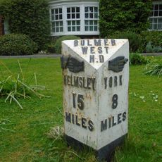
Milepost In Front Of Laughton House
2.9 km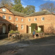
Stable Block To North Of Kitchen Garden
7.7 km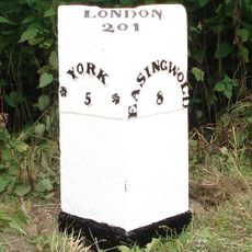
Milepost Approximately 12 Metres To South Of Junction With Sandhole Lane
5 km
Milestone, opp Villa Farm entrance
4.7 kmReviews
Visited this place? Tap the stars to rate it and share your experience / photos with the community! Try now! You can cancel it anytime.
Discover hidden gems everywhere you go!
From secret cafés to breathtaking viewpoints, skip the crowded tourist spots and find places that match your style. Our app makes it easy with voice search, smart filtering, route optimization, and insider tips from travelers worldwide. Download now for the complete mobile experience.

A unique approach to discovering new places❞
— Le Figaro
All the places worth exploring❞
— France Info
A tailor-made excursion in just a few clicks❞
— 20 Minutes