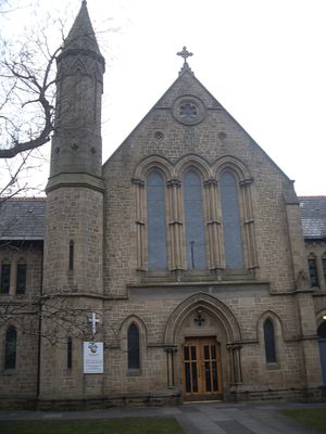
Trinity Church, church building in Newcastle upon Tyne, Tyne and Wear, UK
Location: Newcastle upon Tyne
GPS coordinates: 55.00547,-1.62074
Latest update: November 10, 2025 02:14
Partnership House
640 m
Jubilee Theatre
848 m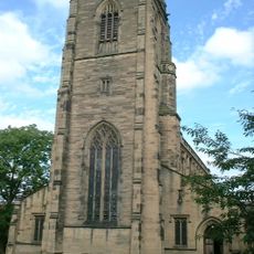
Church of All Saints
309 m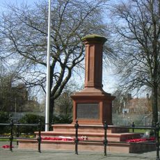
Gosforth Central Park
185 m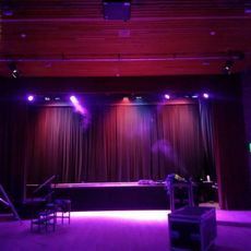
Gosforth Civic Theatre
546 m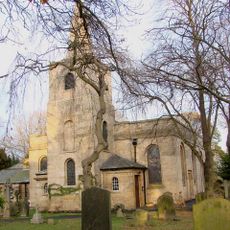
Church of St Nicholas
731 m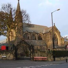
Roman Catholic Church of St Charles, Attached Presbytery and Boundary Wall to South and South West
295 m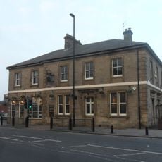
The County Hotel
210 m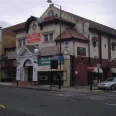
Globe Cinema
210 m
Town Moor Boundary Stone Opposite Number 73
1.1 km
Gosforth War Memorial Pillar
186 m
Gosforth Library
578 m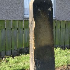
Main Dike Stone
751 m
Racquet Court
1.1 km
2, The Drive
572 m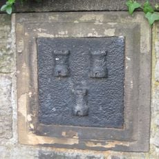
Boundary Mark In Wall At Junction With South Side Of Moorfield
1 km
38-52, High Street
289 m
62-70, The Drive
702 m
23-33, The Grove
396 m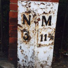
Milepost, Great North Road, by Gosforth Central Middle School field
599 m
1 and 2, Roseworth Terrace
214 m
32-36, High Street
347 m
7-21, The Grove
379 m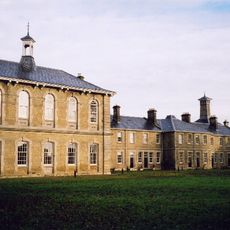
St Nicholas Hospital, Newcastle upon Tyne
899 m
The Theatre Or Recreation Room At St Nicholas Hospital
928 m
Newcastle-upon-Tyne observatory
941 m
Flats With Projecting Walls And Steps And Garages
493 m
Work of art
207 mReviews
Visited this place? Tap the stars to rate it and share your experience / photos with the community! Try now! You can cancel it anytime.
Discover hidden gems everywhere you go!
From secret cafés to breathtaking viewpoints, skip the crowded tourist spots and find places that match your style. Our app makes it easy with voice search, smart filtering, route optimization, and insider tips from travelers worldwide. Download now for the complete mobile experience.

A unique approach to discovering new places❞
— Le Figaro
All the places worth exploring❞
— France Info
A tailor-made excursion in just a few clicks❞
— 20 Minutes