
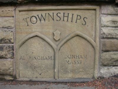
Boundary Stone, boundary marker in Trafford, Greater Manchester, UK
Location: Trafford
Part of: political border
GPS coordinates: 53.38299,-2.35658
Latest update: March 3, 2025 06:43
Watch Hill Castle
2.2 km
Ashley Hall
2.5 km
Church of St Mary the Virgin, Bowdon
752 m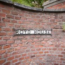
Royd House
2.1 km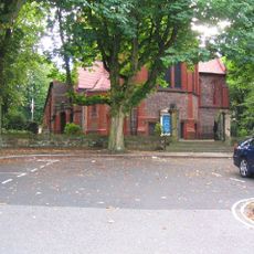
St George's Church, Altrincham
861 m
Altrincham Town Hall
609 m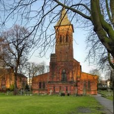
St Alban's Church, Broadheath
2.2 km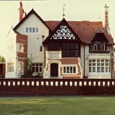
Halecroft
2.7 km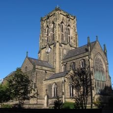
Church of St Margaret
576 m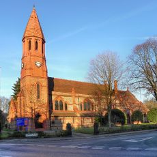
Church of St Peter
1.3 km
7, Church Brow
832 m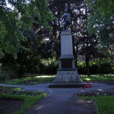
War Memorial at Junction with Broomfield Lane
1.1 km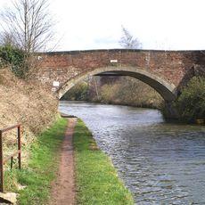
Seamon's Moss Bridge
1.7 km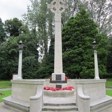
Altrincham And Dunham Massey War Memorial
536 m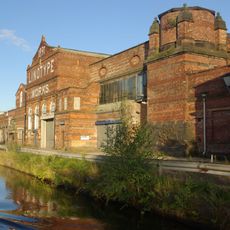
Linotype Works Engine House and Chimney Base
1.5 km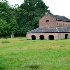
Deer House
2 km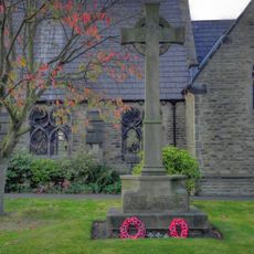
Dunham Town War Memorial
2.4 km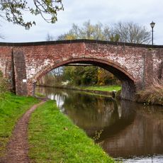
Dunham School Bridge
2.5 km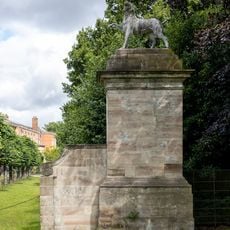
Pier at south east corner of forecourt garden
2.8 km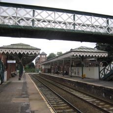
Footbridge, Hale Station
763 m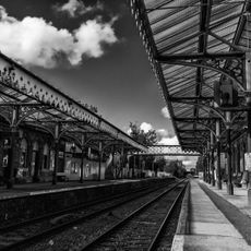
Hale Station, West Platform Building, Canopy And Signal Box
777 m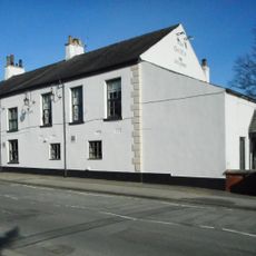
The Griffin
710 m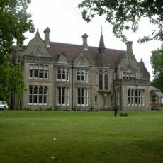
Denzell House
1 km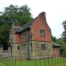
Charcoal Lodge
1.8 km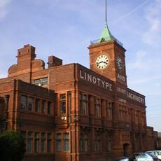
The Main Office Block To The Linotype Works
1.5 km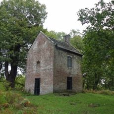
Slaughterhouse
2.4 km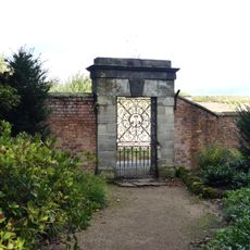
Gateway in bounding wall opposite kitchen gardens
2.7 km
Dunham School
2.5 kmReviews
Visited this place? Tap the stars to rate it and share your experience / photos with the community! Try now! You can cancel it anytime.
Discover hidden gems everywhere you go!
From secret cafés to breathtaking viewpoints, skip the crowded tourist spots and find places that match your style. Our app makes it easy with voice search, smart filtering, route optimization, and insider tips from travelers worldwide. Download now for the complete mobile experience.

A unique approach to discovering new places❞
— Le Figaro
All the places worth exploring❞
— France Info
A tailor-made excursion in just a few clicks❞
— 20 Minutes