
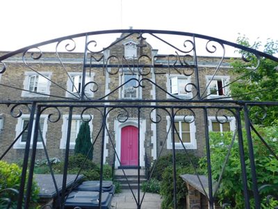
Monger House, house in Hackney, Greater London, UK
Location: London Borough of Hackney
GPS coordinates: 51.54127,-0.04660
Latest update: March 3, 2025 02:33
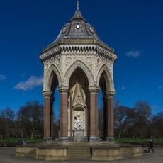
Baroness Burdett Coutts Drinking Fountain
668 m
The Dolphin
684 m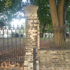
Lauriston Road Cemetery
484 m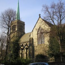
Church of St John of Jerusalem
102 m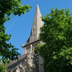
Church of St Luke
602 m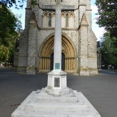
War memorial at St John of Jerusalem Church
122 m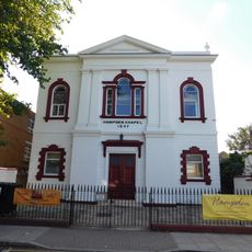
Hampden Chapel
82 m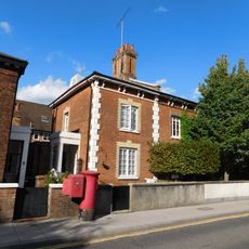
4-7, Church Crescent E9
35 m
1-3, Church Crescent E9
42 m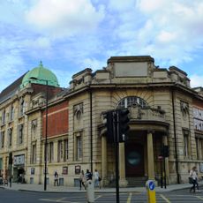
Hackney Picturehouse
603 m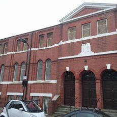
Hackney And East London Synagogue
541 m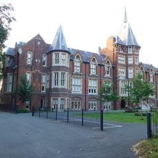
Former French Protestant Hospital (Later Cardinal Pole School)
377 m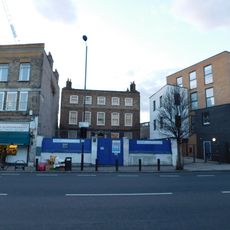
The New Lansdowne Club
637 m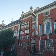
South Hackney Upper School
393 m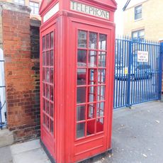
K2 Telephone Kiosk Outside Adult Education Institute
434 m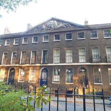
20-54, Cassland Road E9
148 m
226, Mare Street E8
664 m
Forecourt Wall To Number 57
413 m
222, Mare Street E8
654 m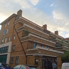
1-35 Lennox House
405 m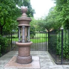
Drinking Fountain
592 m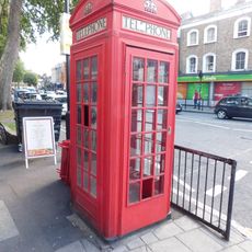
K2 Telephone Kiosk Near Junction With Victoria Park Road
394 m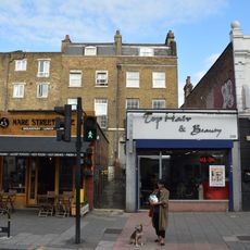
210 And 212, Mare Street E8
626 m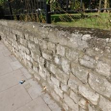
Wall Around Churchyard Of St John Of Jerusalem
116 m
228-232, Mare Street E8
670 m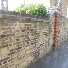
Wall To East Of Number 3, Monger House
13 m
224, Mare Street E8
659 m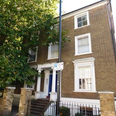
Darnley House
411 mReviews
Visited this place? Tap the stars to rate it and share your experience / photos with the community! Try now! You can cancel it anytime.
Discover hidden gems everywhere you go!
From secret cafés to breathtaking viewpoints, skip the crowded tourist spots and find places that match your style. Our app makes it easy with voice search, smart filtering, route optimization, and insider tips from travelers worldwide. Download now for the complete mobile experience.

A unique approach to discovering new places❞
— Le Figaro
All the places worth exploring❞
— France Info
A tailor-made excursion in just a few clicks❞
— 20 Minutes