
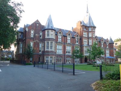
Former French Protestant Hospital, architectural structure in Hackney, Greater London, UK
Location: London Borough of Hackney
GPS coordinates: 51.53915,-0.04235
Latest update: March 3, 2025 00:38
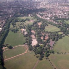
Victoria Park
385 m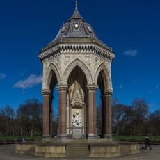
Baroness Burdett Coutts Drinking Fountain
294 m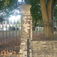
Lauriston Road Cemetery
218 m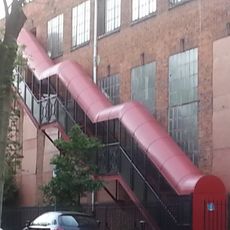
Chisenhale Dance Space
711 m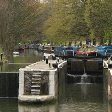
Old Ford Lock
782 m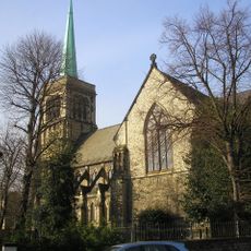
Church of St John of Jerusalem
296 m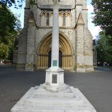
War memorial at St John of Jerusalem Church
310 m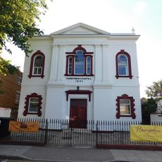
Hampden Chapel
408 m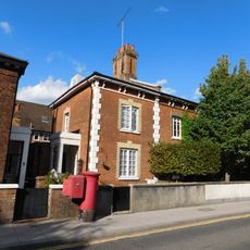
4-7, Church Crescent E9
403 m
1-3, Church Crescent E9
408 m
Three Colt Bridge, Gunmaker's Lane
668 m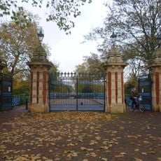
Bonner Gate - the entrance to Victoria Park
787 m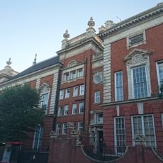
South Hackney Upper School
487 m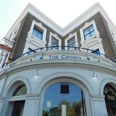
The Crown Hotel
698 m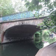
Bonner Hall Bridge
763 m
292-302, Old Ford Road E2
705 m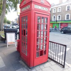
K2 Telephone Kiosk Near Junction With Victoria Park Road
217 m
274-290, Old Ford Road E2
723 m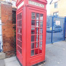
K2 Telephone Kiosk Outside Adult Education Institute
252 m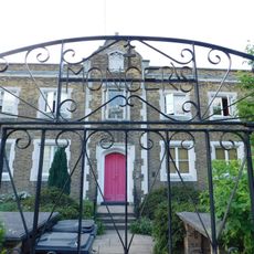
Monger House
377 m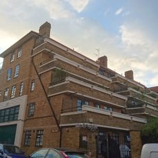
1-35 Lennox House
759 m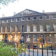
20-54, Cassland Road E9
427 m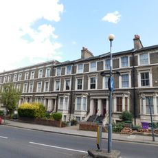
236-256, Old Ford Road E2
778 m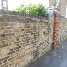
Wall To East Of Number 3, Monger House
366 m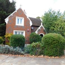
Lodge At Crown Gate West
636 m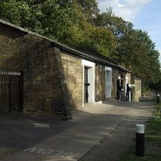
Stable Block To North West Of Lock Cottage
773 m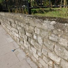
Wall Around Churchyard Of St John Of Jerusalem
322 m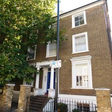
Darnley House
788 mVisited this place? Tap the stars to rate it and share your experience / photos with the community! Try now! You can cancel it anytime.
Discover hidden gems everywhere you go!
From secret cafés to breathtaking viewpoints, skip the crowded tourist spots and find places that match your style. Our app makes it easy with voice search, smart filtering, route optimization, and insider tips from travelers worldwide. Download now for the complete mobile experience.

A unique approach to discovering new places❞
— Le Figaro
All the places worth exploring❞
— France Info
A tailor-made excursion in just a few clicks❞
— 20 Minutes