
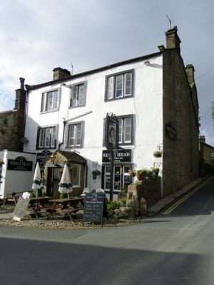
The King's Head, architectural structure in Kettlewell with Starbotton, Craven, North Yorkshire, UK
Location: Kettlewell with Starbotton
GPS coordinates: 54.14659,-2.04630
Latest update: March 3, 2025 13:52
Mossdale Caverns
5.2 km
Great Whernside
3.5 km
Buckden Pike
6.6 km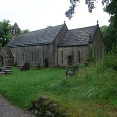
St Mary's Church, Conistone
4.9 km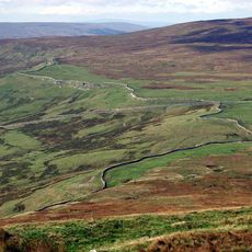
Tor Dike linear earthwork
3.5 km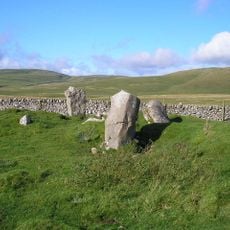
Druid's Altar four poster stone circle
7.4 km
Hunters Stone
4.9 km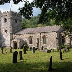
Church of St Oswald
3.8 km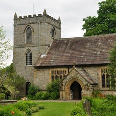
Church of St Mary
86 m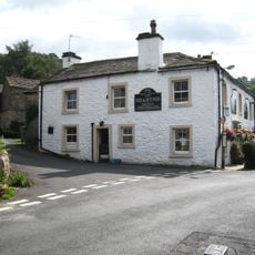
Fox And Hounds Public House
3.1 km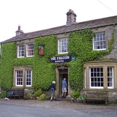
The Falcon Public House
4 km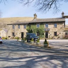
The Buck Inn
5.7 km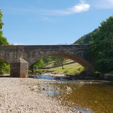
Kettlewell Bridge
321 m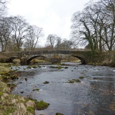
Arncliffe Bridge Over River Skirfare
3.9 km
Town Foot Bridge
201 m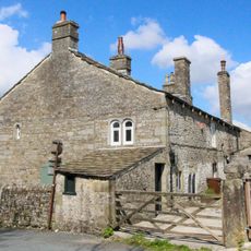
The Vicarage
57 m
Kilnsey Old Hall
4.5 km
The Old Hall
120 m
Low Hall
165 m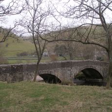
Buckden Bridge
5.9 km
K6 Telephone Kiosk
185 m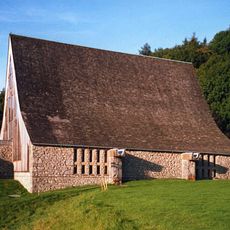
Chapel at Scargill House, including linking passage, staircase and vestry
1.4 km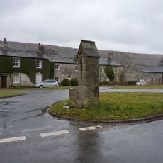
Pump Housing And Trough
3.9 km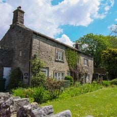
The Green
50 m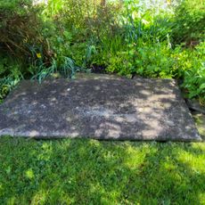
Grave Slab 1 Metre South Of Chancel Of Church Of St Mary
89 m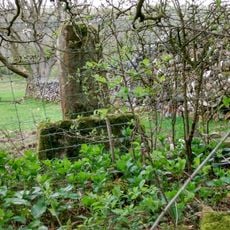
Medieval wayside cross
4.4 km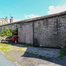
West Gate Farmhouse With Barn Attached To Right
82 m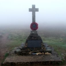
Buckden Pike memorial
5.6 kmReviews
Visited this place? Tap the stars to rate it and share your experience / photos with the community! Try now! You can cancel it anytime.
Discover hidden gems everywhere you go!
From secret cafés to breathtaking viewpoints, skip the crowded tourist spots and find places that match your style. Our app makes it easy with voice search, smart filtering, route optimization, and insider tips from travelers worldwide. Download now for the complete mobile experience.

A unique approach to discovering new places❞
— Le Figaro
All the places worth exploring❞
— France Info
A tailor-made excursion in just a few clicks❞
— 20 Minutes