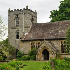
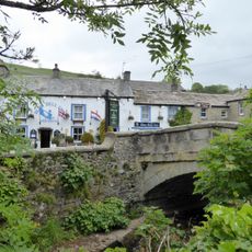
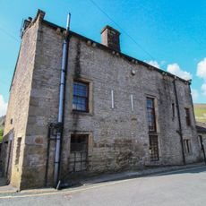
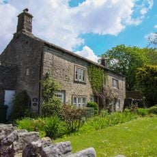
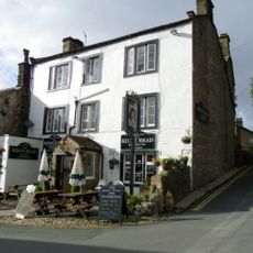
Great Whernside, Mountain summit in Kettlewell with Starbotton, United Kingdom.
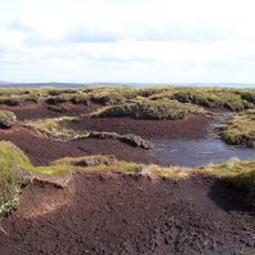
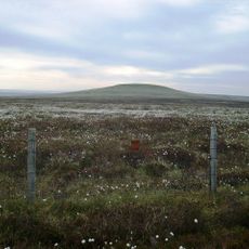
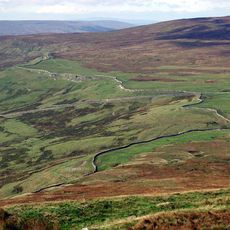
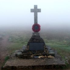
Great Whernside is a mountain in the Pennines with a summit reaching 704 meters (2,310 feet) that forms the watershed between Wharfedale and Nidderdale. The peak sits at the junction of three parishes and offers open moorland terrain with views across the Yorkshire Dales.
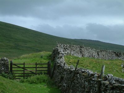
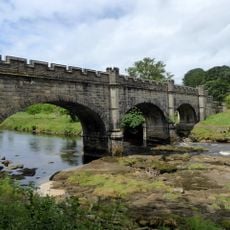
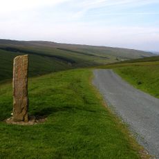
The name Whernside comes from the Old English term Querneside, first recorded in 1214, referring to a hillside where millstones were quarried. The mountain has been part of the Yorkshire landscape for centuries, with routes and usage patterns evolving through agricultural and recreational periods.
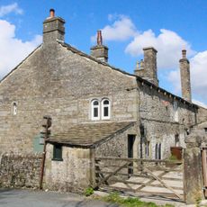
The mountain features Hag Dyke, a hostel operated by the 1st Ben Rhydding Scout Group, providing accommodation for outdoor enthusiasts.
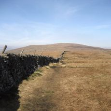
Visitors can reach the summit via marked footpaths from Kettlewell village or nearby settlements, with several route options of varying difficulty levels. Weather can change rapidly at this height, so proper gear and planning are important whenever you visit.
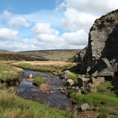
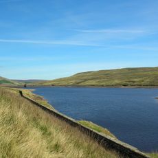
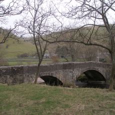
The River Nidd originates from the eastern slopes of this peak and flows toward Angram Reservoir, making it an overlooked water source in the region. Few visitors realize they are walking where one of Yorkshire's river systems begins its journey.
The community of curious travelers
AroundUs brings together thousands of curated places, local tips, and hidden gems, enriched daily by 60,000 contributors worldwide.