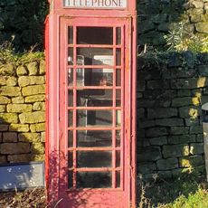
Little Whernside, Mountain summit in North Yorkshire, England.
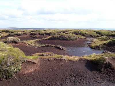
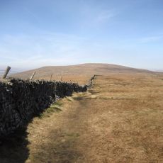
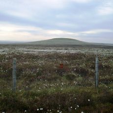
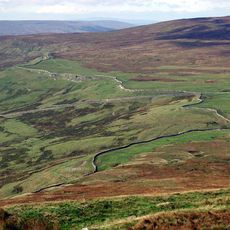
Little Whernside is a mountain summit in North Yorkshire that reaches about 604 meters elevation with a flat plateau and scattered peat formations at the top. The terrain varies depending on the approach and seasonal weather can affect ground conditions.
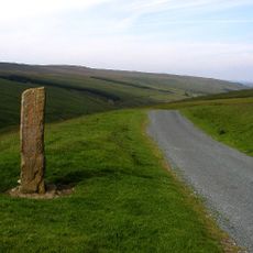
The summit gained official public access in 1997 when authorities established a footpath connection to the peak. This opening up of the route allowed wider access to what had previously been less accessible terrain.
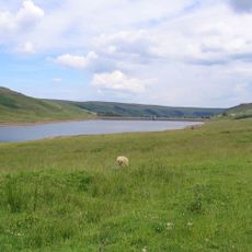
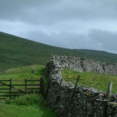
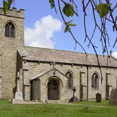
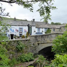
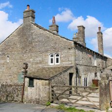
Shepherds continue traditional grazing practices in the valleys surrounding this summit, keeping the landscape shaped as it has been for generations. Local farming culture remains visible in how the hillsides are managed and used today.
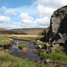
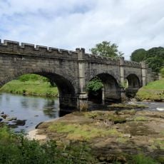
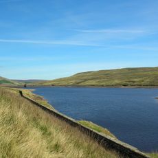
Start your hike from Scar House Reservoir where marked trails guide you up the mountain. Wear sturdy boots and dress for changing weather since conditions here can shift quickly.
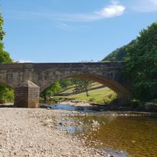
This summit forms a natural divide between two valleys and influences how water flows across the landscape below. Its role in directing water to different areas is not always obvious when walking here, yet it shapes the entire region.
The community of curious travelers
AroundUs brings together thousands of curated places, local tips, and hidden gems, enriched daily by 60,000 contributors worldwide.