Meugher, Mountain summit in Yorkshire Dales, England
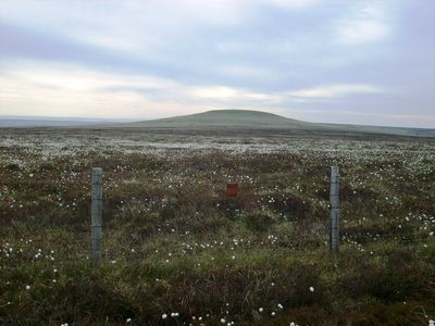
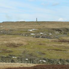
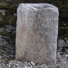
Meugher is a mountain summit in the Yorkshire Dales that reaches about 575 meters in height. The peak has a cone-like shape topped with a stone survey marker that stands out across the open moorland.
The name Meugher comes from 1120 and traces back to Old Norse roots, specifically 'mjór haugr' meaning 'small hill'. This language heritage reflects the Nordic settlement influence that shaped many place names in Yorkshire.
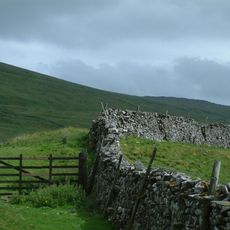
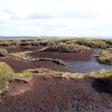
The summit sits in an area between two valleys where hikers regularly pass through and linger to enjoy the views. The surrounding moorland and grassland shape what visitors see and experience during their time on the hill.
The climb starts from Lofthouse on a shooting track that gets you to within 430 meters of the summit across open land. From that point you walk the final stretch on foot, so good hiking boots are helpful for the terrain.
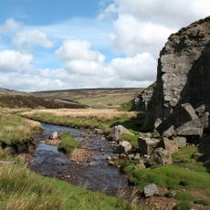
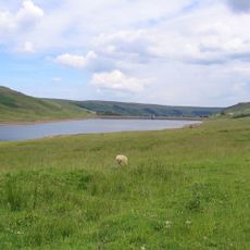
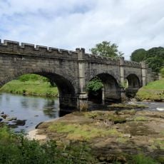
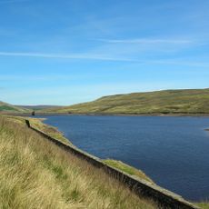
Several streams run down the slopes and carry water to different valleys below the hill. These waterways feed the broader network of rivers and streams that define the whole valley system.
The community of curious travelers
AroundUs brings together thousands of curated places, local tips, and hidden gems, enriched daily by 60,000 contributors worldwide.