Nidd Aqueduct, Water transportation structure in North Yorkshire, England
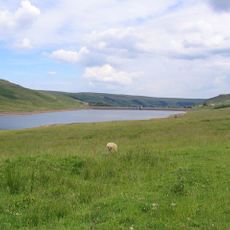
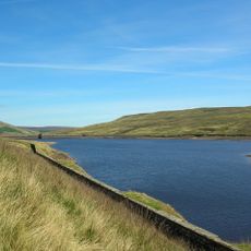
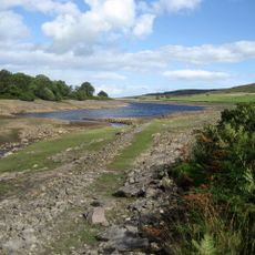
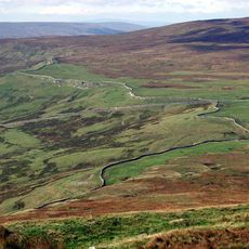
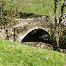
The Nidd Aqueduct is a water transport structure that extends approximately 32 miles from the Angram and Scar House reservoirs in Nidderdale to Bradford. The system uses underground tunnels and crossing bridges to move water across the varied landscape.
Parliamentary approval in 1892 authorized Bradford to build this water system, with initial reservoir construction starting in the early 1890s. The project represented a major engineering undertaking of the Victorian era.
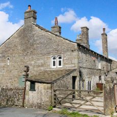
The aqueduct was built to support Bradford's wool mills and growing population in a city lacking major rivers. It shaped how the community understood the link between water access and industrial survival.
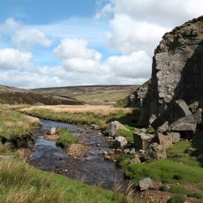
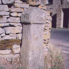
The aqueduct delivers millions of gallons of water daily to a treatment works that prepares it for city use. Parts of it are visible from certain vantage points, though much of the system runs underground.
A particularly impressive section includes a 2,250-meter tunnel dug to depths reaching 484 feet below the surface. This tunnel demonstrates the engineering challenges faced in moving water across such difficult terrain.
The community of curious travelers
AroundUs brings together thousands of curated places, local tips, and hidden gems, enriched daily by 60,000 contributors worldwide.