
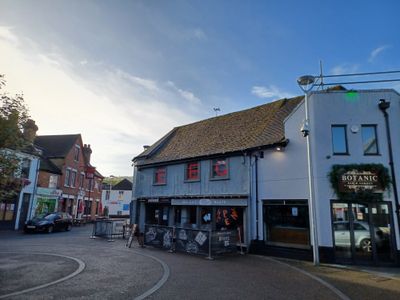
13, Pauls Row, building in Wycombe, Buckinghamshire, UK
Location: Wycombe
Location: Buckinghamshire
GPS coordinates: 51.62870,-0.75150
Latest update: March 3, 2025 01:20
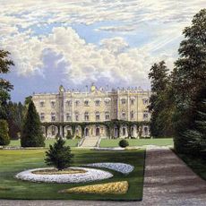
Hughenden Manor
2.4 km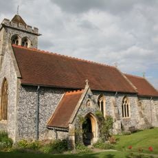
St Michael and All Angels Church, Hughenden
2.6 km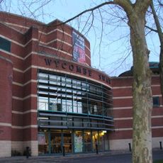
Wycombe Swan
94 m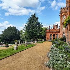
National Trust - Hughenden
2.5 km
Wycombe Museum
373 m
Wycombe Summit
2.2 km
Desborough Castle
1.9 km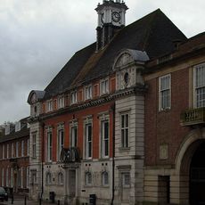
Former Town Hall
160 m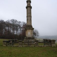
Disraeli Monument
1.9 km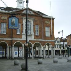
High Wycombe Guildhall
67 m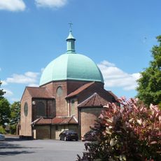
Church of St Mary and St George
1.8 km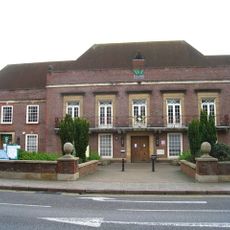
Municipal Offices, High Wycombe
229 m
Millfield Wood
2.6 km
Gomm's Wood
3.1 km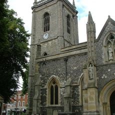
Church of All Saints, High Wycombe
143 m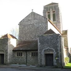
Church of Saint Francis
1.9 km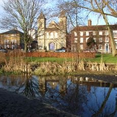
Trinity Congregational Church
597 m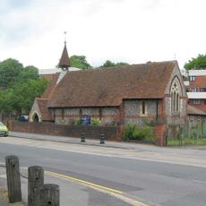
Church of St Anne
2.6 km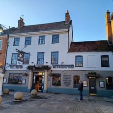
The Falcon Hotel
55 m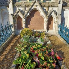
Monument To Disraeli Family, In Churchyard Against East Wall Of North Chapel
2.6 km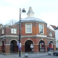
The Little Market House
99 m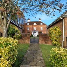
Loakes House
442 m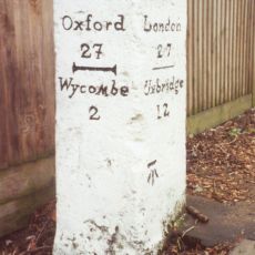
Milestone In Front Of The Halfway House
3.1 km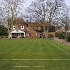
Bassetsbury Manor
1.3 km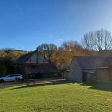
L Plan Range Of Farm Buildings To North East Of Church Farmhouse
3 km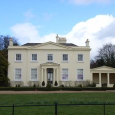
Brands House
2.9 km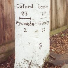
Milestone, London Road; King's Mead, E of town, was beside HalfwayHouse PH (since demolished 2011)
3.1 km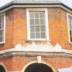
Milestone, Church Square; opp. Guild Hall on Market building known as the Pepper Pot
85 mReviews
Visited this place? Tap the stars to rate it and share your experience / photos with the community! Try now! You can cancel it anytime.
Discover hidden gems everywhere you go!
From secret cafés to breathtaking viewpoints, skip the crowded tourist spots and find places that match your style. Our app makes it easy with voice search, smart filtering, route optimization, and insider tips from travelers worldwide. Download now for the complete mobile experience.

A unique approach to discovering new places❞
— Le Figaro
All the places worth exploring❞
— France Info
A tailor-made excursion in just a few clicks❞
— 20 Minutes