
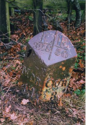
Milepost Circa 1/4 Mile South Of Pallinsburn, milestone in Ford, Northumberland, UK
Location: Ford
Inception: 19 century
GPS coordinates: 55.64043,-2.16579
Latest update: March 28, 2025 19:50
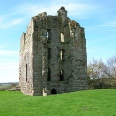
Etal Castle
2.9 km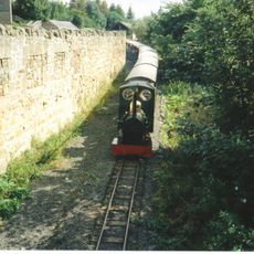
Heatherslaw Light Railway
2.8 km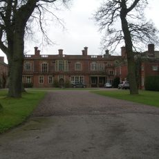
Pallinsburn House
491 m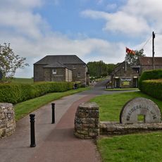
Heatherslaw Mill
3.7 km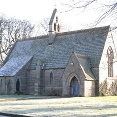
Church of St Mary the Virgin
3.3 km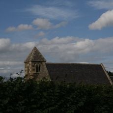
Church of St Paul
1.2 km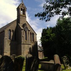
Church of St Helen
3.9 km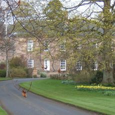
Etal Manor
3.4 km
Parson's Tower
4.8 km
The Collingwood Arms
3.9 km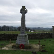
Cornhill-On-Tweed War Memorial
4 km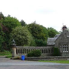
West Lodge And Gateway To Ford Castle
4.4 km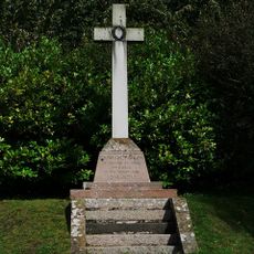
Carham War Memorial
3.5 km
Milepost Circa 100 Yards North Of Hay Farm Road End
4.1 km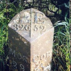
Milepost Circa 200 Yards West Of Mount Pleasant
2.8 km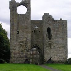
Etal Castle Gate Tower, South Curtain Wall And South West Tower
3 km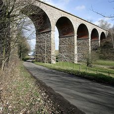
Railway Viaduct Circa 100 Yards North Of West Learmouth
4.6 km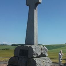
Flodden Memorial
1.5 km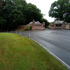
Twin Lodges And Gatepiers To Tillmouth Park Hotel
4.4 km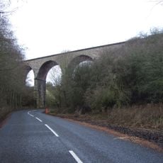
Duddo Burn Viaduct
4.2 km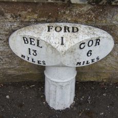
Milepost Beside Ford Castle West Lodge
4.5 km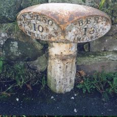
Milepost In Cornhill On Tweed Village
3.8 km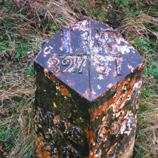
Milepost By The Blue Bell
1.5 km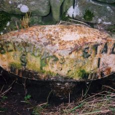
Milepost At Berryhill Road End
4.3 km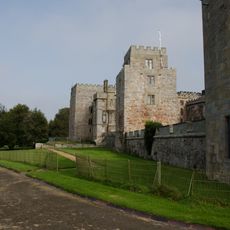
Ford Castle Terrace Walls To West And North West Of Ford Castle
4.8 km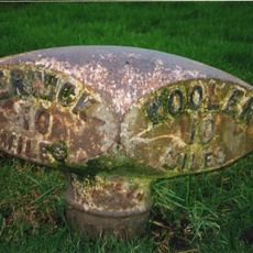
Milepost In Etal Village
3.2 km
Milestone, a mile SW of Cornhill on Tweed
4.4 km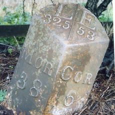
Milepost Circa 50 Yards North Of Junction With B6352
4.3 kmReviews
Visited this place? Tap the stars to rate it and share your experience / photos with the community! Try now! You can cancel it anytime.
Discover hidden gems everywhere you go!
From secret cafés to breathtaking viewpoints, skip the crowded tourist spots and find places that match your style. Our app makes it easy with voice search, smart filtering, route optimization, and insider tips from travelers worldwide. Download now for the complete mobile experience.

A unique approach to discovering new places❞
— Le Figaro
All the places worth exploring❞
— France Info
A tailor-made excursion in just a few clicks❞
— 20 Minutes