
Boundary Stone On The Corner With Roedean Road
Boundary Stone On The Corner With Roedean Road, boundary marker in The City of Brighton and Hove, West Sussex, UK
Location: Brighton and Hove
Part of: political border
GPS coordinates: 50.81757,-0.10658
Latest update: April 9, 2025 03:08
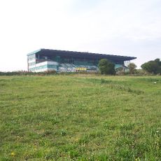
Whitehawk Camp
1.2 km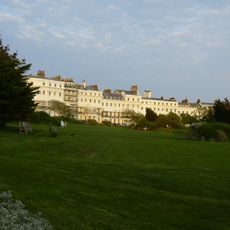
Kemp Town
358 m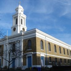
St George's Church, Brighton
896 m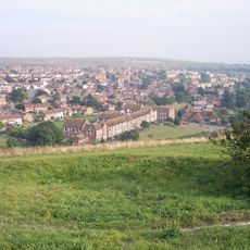
Whitehawk Hill
1.2 km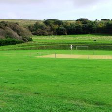
East Brighton Park
410 m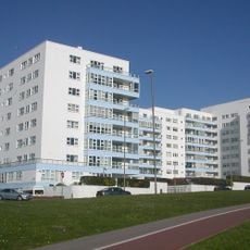
Marine Gate
324 m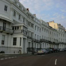
Fife House
482 m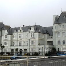
French Convalescent Home, Brighton
281 m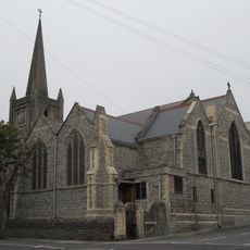
St Mark's Church, Brighton
381 m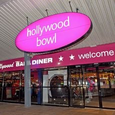
Hollywood Bowl
613 m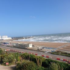
Brighton Naturist Beach
643 m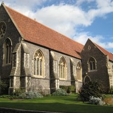
Brighton College Chapel
1.2 km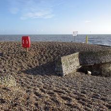
Banjo Groyne On The Beach At The Bottom Of Paston Place
964 m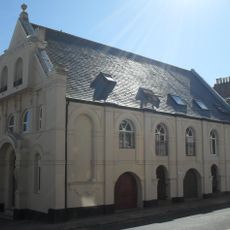
Playhouse
723 m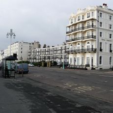
Royal Crescent Hotel And Attached Walls And Railings
1.3 km
Railings Running The Length Of Marine Parade
874 m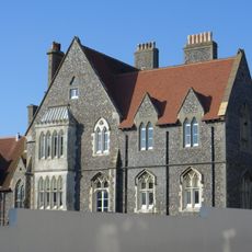
Classroom Dining Hall And Head Masters House Brighton College
1.1 km
The Royal Gymnasium And Attached Railings
849 m
Numbers 1-8 And Attached Railings
697 m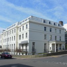
Pearson House
983 m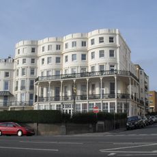
Bristol Court
915 m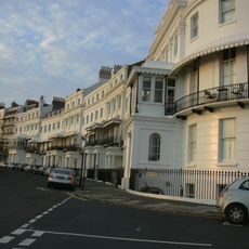
1-14 Lewes Crescent
436 m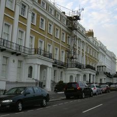
1-10 Sussex Square
353 m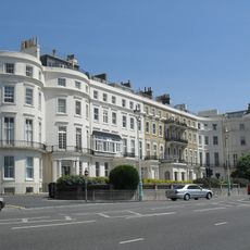
Numbers 1 To 9 And Attached Walls Piers And Railings
860 m
Shelter Opposite Marine Square
1.1 km
Numbers 1 To 6 And Attached Walls Piers And Railings
619 m
Kemp Town Enclosures
553 m
Chichester House and 1-14 Chichester Terrace
532 mReviews
Visited this place? Tap the stars to rate it and share your experience / photos with the community! Try now! You can cancel it anytime.
Discover hidden gems everywhere you go!
From secret cafés to breathtaking viewpoints, skip the crowded tourist spots and find places that match your style. Our app makes it easy with voice search, smart filtering, route optimization, and insider tips from travelers worldwide. Download now for the complete mobile experience.

A unique approach to discovering new places❞
— Le Figaro
All the places worth exploring❞
— France Info
A tailor-made excursion in just a few clicks❞
— 20 Minutes