
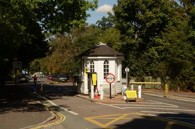
Dulwich Toll House, functioning toll house in Dulwich, London
Location: Dulwich
Location: London Borough of Southwark
GPS coordinates: 51.43683,-0.08117
Latest update: March 2, 2025 21:47
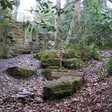
Sydenham Hill Wood
982 m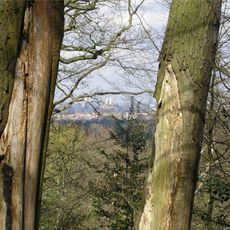
Dulwich Wood
534 m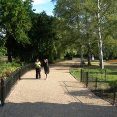
Dulwich Park
1 km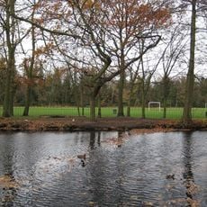
Belair Park
920 m
Six Pillars
733 m
Glenlea
614 m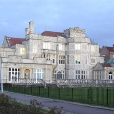
Kingswood House
706 m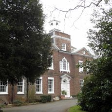
Bell House
896 m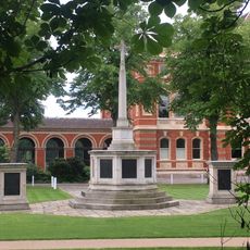
Dulwich College War Memorial
432 m
Howlettes Mead
688 m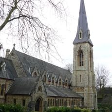
Church of St Stephen
541 m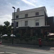
The Rosendale Public House
909 m
The Old Library, Dulwich College
573 m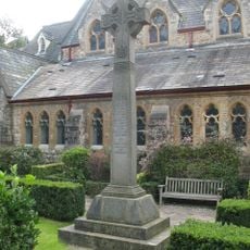
Dulwich (St Stephen's) War Memorial
536 m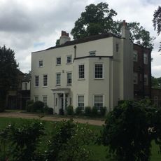
Old Blew House
667 m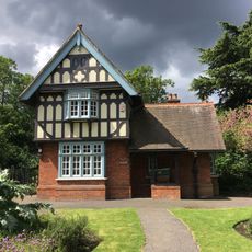
Park Lodge Next To Roseberry Gate, Dulwich Park
933 m
James Caird
357 m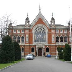
Dulwich College, Main Building
477 m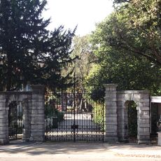
Gates To Kingswood House At Corner Of Lyall Avenue
803 m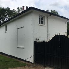
Outbuilding North West Of Number 41 (Oakfield)
684 m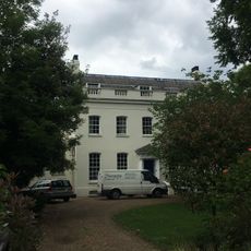
Elm Lawn
693 m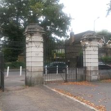
Queen Mary Gate To Dulwich Park And Attached Railings
639 m
Oakfield
655 m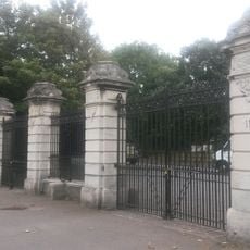
Roseberry Gate To Dulwich Park And Attached Railings
941 m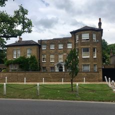
Stella House
1 km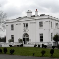
Belair
921 m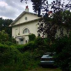
Northcroft The Willows
635 m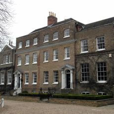
Numbers 13 And 15 And Attached Hand Railings
1 kmVisited this place? Tap the stars to rate it and share your experience / photos with the community! Try now! You can cancel it anytime.
Discover hidden gems everywhere you go!
From secret cafés to breathtaking viewpoints, skip the crowded tourist spots and find places that match your style. Our app makes it easy with voice search, smart filtering, route optimization, and insider tips from travelers worldwide. Download now for the complete mobile experience.

A unique approach to discovering new places❞
— Le Figaro
All the places worth exploring❞
— France Info
A tailor-made excursion in just a few clicks❞
— 20 Minutes