12-14, Wray Common Road, building in Reigate and Banstead, Surrey, UK
Location: Reigate and Banstead
GPS coordinates: 51.23912,-0.18569
Latest update: November 19, 2025 18:39
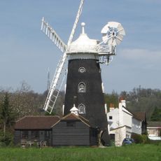
Wray Common Mill, Reigate
681 m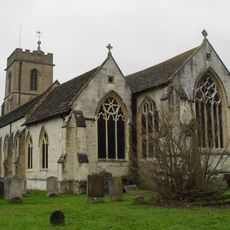
Church of St Mary Magdalene
847 m
White Lion Public House
718 m
Reigate and Redhill War Memorial
324 m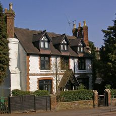
Old Garlands
1.1 km
Warwick Lodge
592 m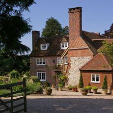
Wray Farmhouse
747 m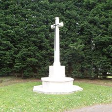
Reigate Cemetery Cross of Sacrifice
612 m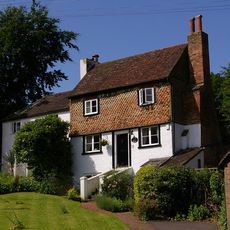
73 And 73A, Linkfield Street
703 m
36-40, Linkfield Lane
667 m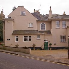
Cherchefelle
880 m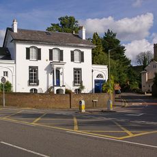
Delville
862 m
Ruins In South-West Corner Of Grounds Of No 2 Chart Lane
933 m
10, Whitepost Hill
670 m
16, Linkfield Lane
1.1 km
Fengates House
669 m
Dunottar School High Trees
933 m
Round Tower In Grounds Of Parish Hall Opposite Churchyard Steps
898 m
The Chantry
1.1 km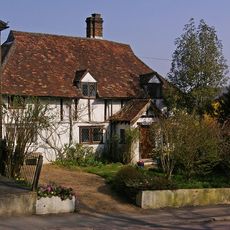
The Old Cottage
1.1 km
Grotto Including Steps And South Boundary Wall At 6 Monk's Walk, Reigate
949 m
Rio Cinema
1.2 km
Holmesdale Natural History Club
832 m
The Old House
887 m
Gateway In South Wall Of Grounds Of No 2 (Cherchefelle)
897 m
Surrey Fire Museum
777 m
Peach Blossom (Camby Ltd.)
497 m
George V Jubilee
991 mReviews
Visited this place? Tap the stars to rate it and share your experience / photos with the community! Try now! You can cancel it anytime.
Discover hidden gems everywhere you go!
From secret cafés to breathtaking viewpoints, skip the crowded tourist spots and find places that match your style. Our app makes it easy with voice search, smart filtering, route optimization, and insider tips from travelers worldwide. Download now for the complete mobile experience.

A unique approach to discovering new places❞
— Le Figaro
All the places worth exploring❞
— France Info
A tailor-made excursion in just a few clicks❞
— 20 Minutes