
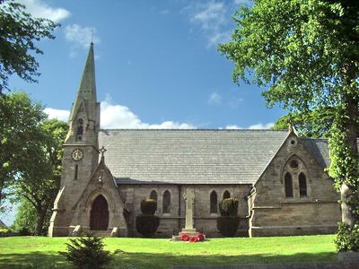
Parish Church of St John the Evangelist, church building in Higham, Lancashire, UK
Location: Higham-with-West Close Booth
GPS coordinates: 53.82532,-2.28971
Latest update: March 6, 2025 16:54
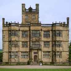
Gawthorpe Hall
2.5 km
Huntroyde Hall
2.8 km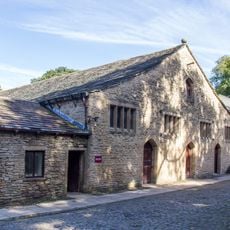
Great Barn circa 100 metres west of Gawthorpe Hall
2.6 km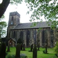
Church of St Anne
1.5 km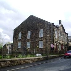
Wheatley Lane Methodist Church
2.3 km
Sabden Great Hall
1.8 km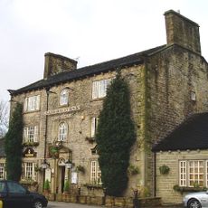
Fence Gate Inn
1.6 km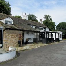
Bay Horse
1.5 km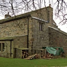
Higham Hall
109 m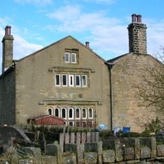
Dean Farmhouse
1.5 km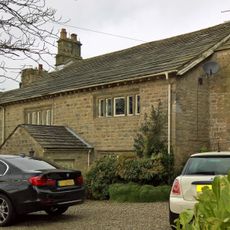
Lower House Farmhouse
146 m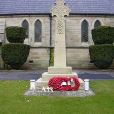
Higham War Memorial
12 m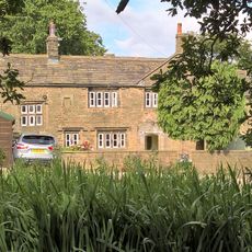
Hargrove Farmhouse
2.2 km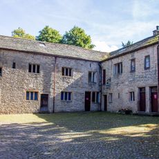
Estate Offices Etc, On South Side Of Courtyard, Circa 20 Metres South Of Great Barn
2.6 km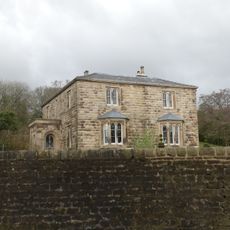
Sabden House
3 km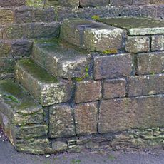
Mounting Steps Adjoining Boundary Wall To South West Of St Mary's Vicarage
3 km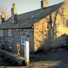
Ashlar Cottage Ashlar House
1.2 km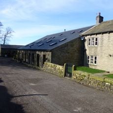
Tynedale Farmhouse
2 km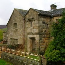
Lower Houses Farmhouse
1.3 km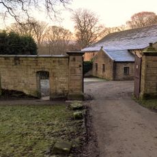
Gate Piers And Boundary Wall To Courtyard Of Former Home Farm To Gawthorpe Hall
2.6 km
Game Larder Circa 30 Metres West Of Gawthorpe Hall On North Side Of Path To Great Barn
2.6 km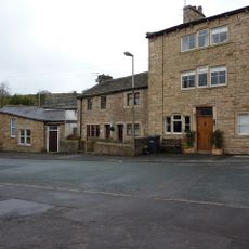
304, Wheatley Lane Road
3 km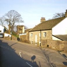
The Vicarage
3 km
Well Head Farmhouse And Barn Adjoining To The North East
2.6 km
Gate Piers At Outer Gateway Of Royle Hall Farmhouse
3 km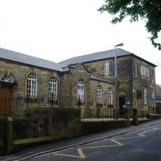
Methodist School
2.3 km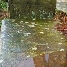
Nutter Headstone 2 Metres South Of Church Of St Mary
3.1 km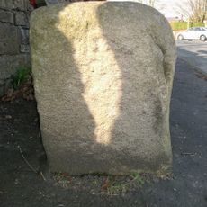
Guidestone, jct Sabden Road, Higham Road & Slade Lane
2.4 kmVisited this place? Tap the stars to rate it and share your experience / photos with the community! Try now! You can cancel it anytime.
Discover hidden gems everywhere you go!
From secret cafés to breathtaking viewpoints, skip the crowded tourist spots and find places that match your style. Our app makes it easy with voice search, smart filtering, route optimization, and insider tips from travelers worldwide. Download now for the complete mobile experience.

A unique approach to discovering new places❞
— Le Figaro
All the places worth exploring❞
— France Info
A tailor-made excursion in just a few clicks❞
— 20 Minutes