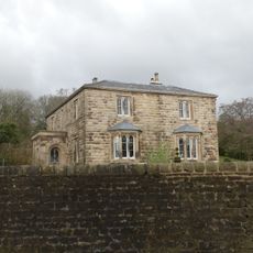
Huntroyde Hall, Country house in Simonstone, England
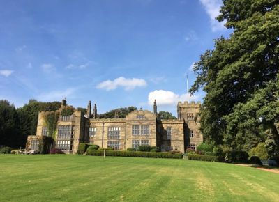
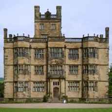
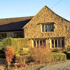
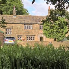
Huntroyde Hall is an H-shaped country house in Simonstone, Lancashire, built from red sandstone with large windows and high ceilings that give it a solid, formal presence. The house sits within a broad estate that includes parkland and gardens typical of a rural English property of its kind.
The Starkie family came to own the property in the 15th century and put up the first structure in 1576. Significant work carried out during the 1800s gave the house much of its current Georgian character.
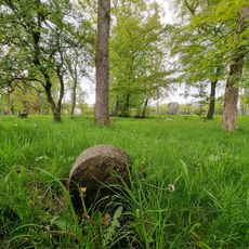
Huntroyde Hall is closely associated with the Starkie family, whose presence shaped the estate over many generations. The surrounding parkland still follows the pattern of a traditional English country estate, with open land meeting formal garden spaces in a way that reflects how such properties were once lived in and managed.
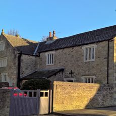
The estate is best explored on foot, and comfortable walking shoes are useful given the open terrain of the parkland. Public access to the main house is not guaranteed, so it is worth checking what is open to visitors before making the trip.
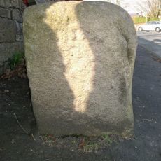
The estate contains one of the longest Ha-Ha structures in northern England, and it carries a Grade II listing in its own right, separate from the house. This sunken wall was designed to keep animals out of the garden while keeping the view across the parkland open and unbroken.
The community of curious travelers
AroundUs brings together thousands of curated places, local tips, and hidden gems, enriched daily by 60,000 contributors worldwide.