
Trevalyn Farmhouse, Grade II listed building in Rossett. Set back from, and to the east of, Darland Lane on the borders of Trevalyn and Darland and lying in open agricultural land
Location: Rossett
Elevation above the sea: 10 m
GPS coordinates: 53.10952,-2.92365
Latest update: March 3, 2025 00:16

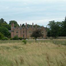
Trevalyn Hall
1.8 km
Pulford Castle
1.6 km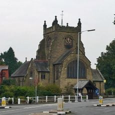
Christ Church, Rossett
1.7 km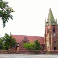
St Mary's Church, Pulford
1.6 km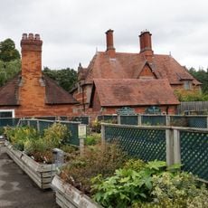
Belgrave Lodge
3.8 km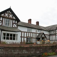
Churton Hall
3.8 km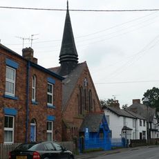
Presbyterian Chapel, Rossett
1.9 km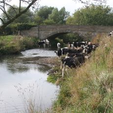
Cook's Bridge
1 km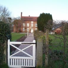
Green Farmhouse, Poulton
2.1 km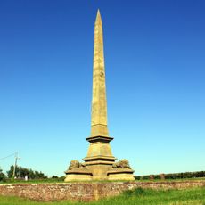
Obelisk Commemorating Roger Barnston
3.8 km
The Thatched Cottage (right of a pair)
4 km
Church View
4.1 km
Meifod
2.5 km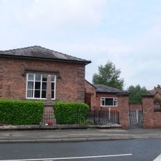
Pulford War Memorial
1.7 km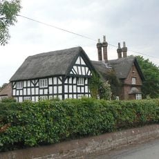
Thatched Cottage (left of a pair)
4 km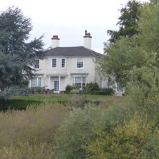
Deebanks
4 km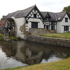
Rossett Mill
1.8 km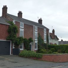
Laurel Bank and workshop
4.1 km
Allington Farmhouse
2.2 km
Lodge and forecourt wall north of former Pulford Approach to Eaton Park
1.6 km
Allington Farm Gatehouse
2.2 km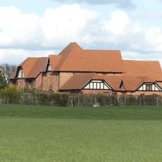
Farm buildings at Meadow House Farm
3.4 km
Rushmere View
4 km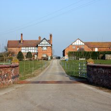
Dodleston Lane Farmhouse
3.4 km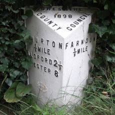
Milepost, N of Farndon, next to South View, between Monument and Briarfield
3.8 km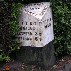
Milepost, Main Street, 20m N of jct with Old Lane
1.7 km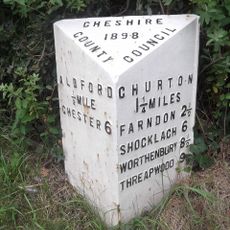
Milepost, Glebe Cottages
3.8 km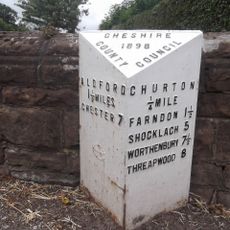
Milepost, N of Churton, opp. Walnut Cottage
3.6 kmReviews
Visited this place? Tap the stars to rate it and share your experience / photos with the community! Try now! You can cancel it anytime.
Discover hidden gems everywhere you go!
From secret cafés to breathtaking viewpoints, skip the crowded tourist spots and find places that match your style. Our app makes it easy with voice search, smart filtering, route optimization, and insider tips from travelers worldwide. Download now for the complete mobile experience.

A unique approach to discovering new places❞
— Le Figaro
All the places worth exploring❞
— France Info
A tailor-made excursion in just a few clicks❞
— 20 Minutes