Pulford Castle, Medieval castle in Poulton and Pulford, England.
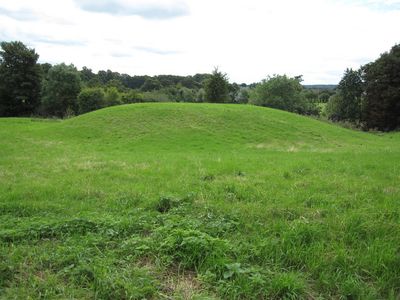
Pulford Castle is a medieval fortification consisting of a raised mound surrounded by defensive ditches in the classic motte-and-bailey style. A palisaded enclosure originally crowned the mound, with additional structures positioned to its northwest.
The castle was built following the Norman Conquest of 1066, when incoming rulers constructed fortifications throughout recently conquered England. A record from 1245 documents a transfer of ownership between local noble families who held the site.
The castle shows how Norman rulers built fortified positions to control newly conquered territories after their arrival in England. These sites served as symbols of power over local populations as much as defensive strongholds.
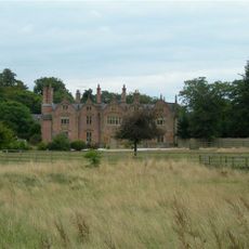
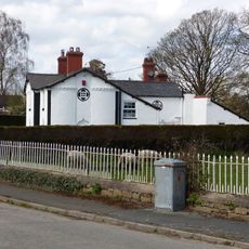
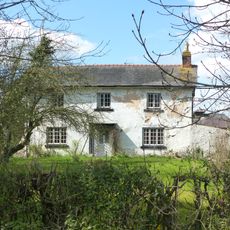
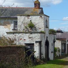
The site sits near St. Mary's Church and is accessible by local footpaths; archaeological remains are visible from the perimeter. Wear sturdy shoes, as the ground can be uneven and muddy after rain.
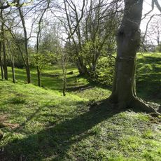
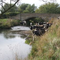
The castle guards the crossing of Pulford Brook, a stream that marks the historical border between England and Wales. This location made the fortification a key checkpoint for controlling movement and maintaining regional stability.
Location: Poulton and Pulford
GPS coordinates: 53.12180,-2.93511
Latest update: December 9, 2025 12:28
Trevalyn Hall
2.2 km
Christ Church, Rossett
1.8 km
St Mary's Church, Pulford
70 m
Golden Gates
4.3 km
St Mary's Church, Dodleston
2.6 km
Belgrave Lodge
2.7 km
Dodleston Castle
2.6 km
Presbyterian Chapel, Rossett
2 km
Cook's Bridge
2.5 km
Upper Belgrave Lodge
3.8 km
Green Farmhouse, Poulton
2.1 km
Red Lion Inn
2.8 km
Lychgate canopy and wing walls, St Mary's Churchyard
2.6 km
Meifod
2.4 km
Trevalyn Farmhouse
1.6 km
Pulford War Memorial
154 m
The Obelisk
4 km
Rossett Mill
2 km
Lodge and forecourt wall north of former Pulford Approach to Eaton Park
125 m
Farm buildings at Meadow House Farm
1.9 km
Allington Farmhouse
3.1 km
Allington Farm Gatehouse
3 km
Dovecote at Dodleston Hall
3.2 km
Dodleston Lane Farmhouse
1.8 km
Former central farm building associated with Moor End Farm
4 km
Dodleston Hall
3.2 km
Milepost, SE of Belgrave Bridge, A483 roundabout
3.4 km
Milepost, Main Street, 20m N of jct with Old Lane
291 mVisited this place? Tap the stars to rate it and share your experience / photos with the community! Try now! You can cancel it anytime.
Discover hidden gems everywhere you go!
From secret cafés to breathtaking viewpoints, skip the crowded tourist spots and find places that match your style. Our app makes it easy with voice search, smart filtering, route optimization, and insider tips from travelers worldwide. Download now for the complete mobile experience.
A unique approach to discovering new places❞
— Le Figaro
All the places worth exploring❞
— France Info
A tailor-made excursion in just a few clicks❞
— 20 Minutes