
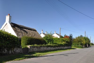
Myrtle Cottage, including attached outhouses, Grade II listed building in St Athan. To the west of West Orchard Farmhouse and on the other side of the road.
Location: St Athan
Elevation above the sea: 40.3 m
GPS coordinates: 51.40245,-3.42149
Latest update: May 25, 2025 18:48
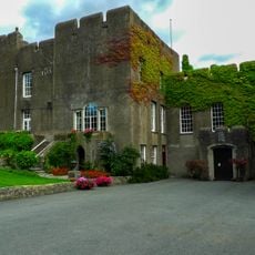
Fonmon Castle
3.5 km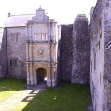
Old Beaupre Castle
4 km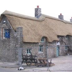
The Blue Anchor Inn
2.6 km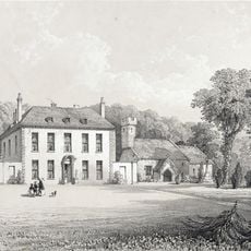
Gileston Manor
1.1 km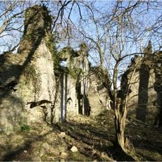
East Orchard Castle
1.7 km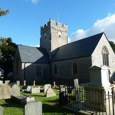
St Tathan's Church
484 m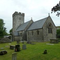
Church Of St Cattwg
3.5 km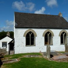
Bethesda Independent Chapel
2.3 km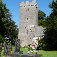
Parish Church of St Mary, St Mary Church
3.7 km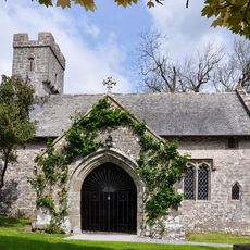
Church Of St Giles
1.1 km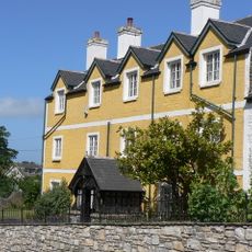
Boverton House with attached Stable Range
2.9 km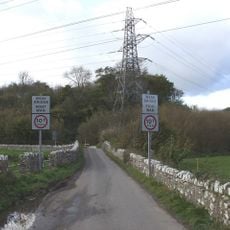
Kenson Bridge
4 km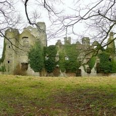
Boverton Place
3 km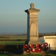
St Athan, Flemingston and Eglwys Brewis War Memorial
701 m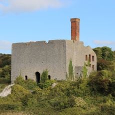
Aberthaw Lime and Cement Works
3.2 km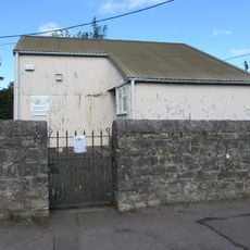
St Athan Library
523 m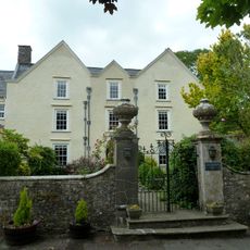
Llanmaes House
3.4 km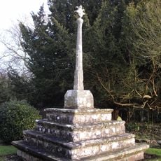
Cross in Churchyard of Church of St Giles
1.1 km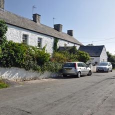
West Orchard Farmhouse
51 m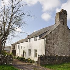
Old Beaupre Farmhouse
4.1 km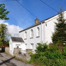
Saint Athan's Methodist Chapel
627 m
Quaintways, with attached garden wall
4.4 km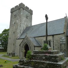
Cross in Churchyard of Church of St Cattwg
3.5 km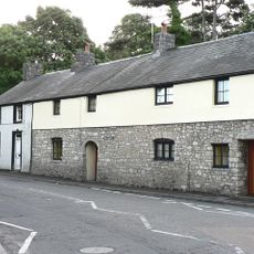
The Causeway
3 km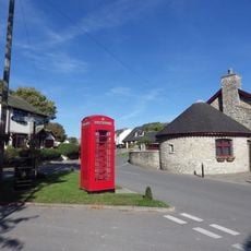
Telephone Call-box at road junction in centre of Gileston village
1.2 km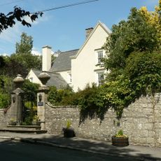
Walls, Gatepiers And Gates Of Llanmaes House
3.4 km
Howe MiIll
4.4 km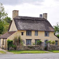
Rose Cottage
1.2 kmReviews
Visited this place? Tap the stars to rate it and share your experience / photos with the community! Try now! You can cancel it anytime.
Discover hidden gems everywhere you go!
From secret cafés to breathtaking viewpoints, skip the crowded tourist spots and find places that match your style. Our app makes it easy with voice search, smart filtering, route optimization, and insider tips from travelers worldwide. Download now for the complete mobile experience.

A unique approach to discovering new places❞
— Le Figaro
All the places worth exploring❞
— France Info
A tailor-made excursion in just a few clicks❞
— 20 Minutes