
Cross in Churchyard of Church of St Cattwg, Grade II listed building in Vale of Glamorgan. Immediately to the south of the Church of St. Cattwg.
Location: Llanmaes
Elevation above the sea: 48.4 m
GPS coordinates: 51.41510,-3.46699
Latest update: March 2, 2025 21:51


St Illtyd's Church, Llantwit Major
1.6 km
Llantwit Major Town Hall
1.5 km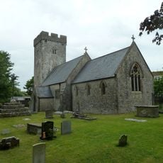
Church Of St Cattwg
12 m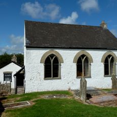
Bethesda Independent Chapel
1.2 km
Well opposite Downcross Farm
1.5 km
Bethel Baptist Chapel
1.4 km
Tudor Tavern P.H.
1.6 km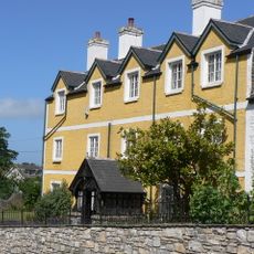
Boverton House with attached Stable Range
1 km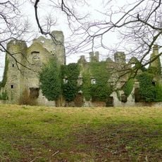
Boverton Place
1.2 km
Old White Hart P.H.
1.6 km
Old Swan Inn
1.5 km
Llantwit Major War Memorial
1.6 km
Downcross Farmhouse including front garden walls
1.4 km
Tabernacle Calvinistic Methodist Chapel
1.6 km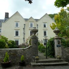
Llanmaes House
47 m
Court House
1.4 km
Telephone Call-Box outside Old White Hart P.H.
1.6 km
Old Place (or Llantwit Major Castle)
1.5 km
West Farmhouse
1.6 km
Ty-mawr
1.4 km
Outhouse at Sunny Bank
1.4 km
Corner House
1.4 km
The Old School, including attached walling
1.6 km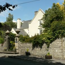
Walls, Gatepiers And Gates Of Llanmaes House
31 m
Swimbridge Farmhouse with attached garden walls
1.6 km
Quaintways, with attached garden wall
1.6 km
The Causeway
1.1 km
The Old House
1.4 kmReviews
Visited this place? Tap the stars to rate it and share your experience / photos with the community! Try now! You can cancel it anytime.
Discover hidden gems everywhere you go!
From secret cafés to breathtaking viewpoints, skip the crowded tourist spots and find places that match your style. Our app makes it easy with voice search, smart filtering, route optimization, and insider tips from travelers worldwide. Download now for the complete mobile experience.

A unique approach to discovering new places❞
— Le Figaro
All the places worth exploring❞
— France Info
A tailor-made excursion in just a few clicks❞
— 20 Minutes