
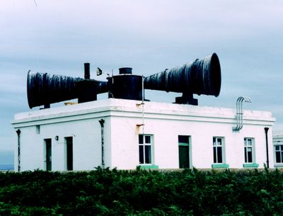
Former Fog Station including former keeper's house and enclosure walls
Former Fog Station including former keeper's house and enclosure walls, Grade II listed building in City and County of Cardiff. Situated close to the cliff about half-way along the E shore of the island.
Location: Butetown
Elevation above the sea: 27.3 m
GPS coordinates: 51.37807,-3.11868
Latest update: March 24, 2025 10:41
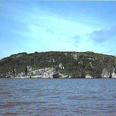
Steep Holm
4.3 km
Sully Island
5.7 km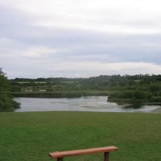
Cosmeston Lakes Country Park
6.3 km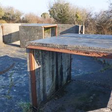
Lavernock Battery
4.8 km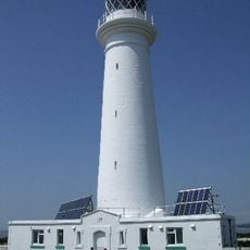
Flat Holm Lighthouse
272 m
Monkstone Lighthouse
4.3 km
Sea Roads
6.7 km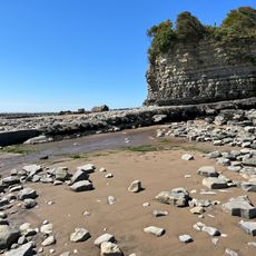
Penarth Coast
5.7 km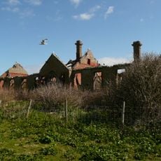
Former Isolation Hospital (Main Block) Flat Holm Island
254 m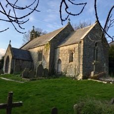
Church of St Lawrence
4.9 km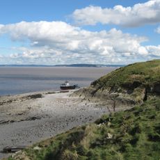
Flat Holm
279 m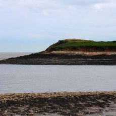
Sully Island
5.7 km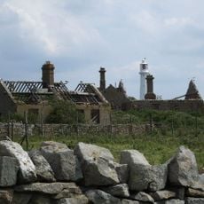
Laundry Building to former Isolation Hospital, Flat Holm
283 m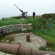
Two Palmerstonian gun batteries on Steep Holm
4.4 km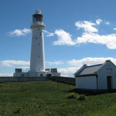
Oil Store and enclosure walls at Flatholm Lighthouse
235 m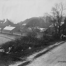
Swanbridge House
5.9 km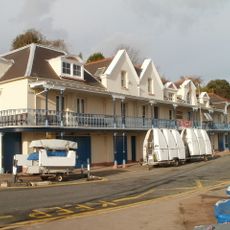
Penarth Yacht Club House,The Esplanade
7 km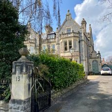
No.13 Marine Parade (Greylands)
6.9 km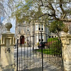
No.14 Marine Parade (Leigh Holme)
6.9 km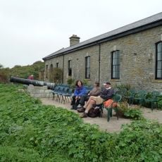
The Barracks
4.4 km
Laboratory Battery
4.2 km
Tombstone Battery
4.3 km
Garden Battery
4.4 km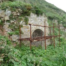
Limekiln
4.5 km
Summit Battery
4.3 km
Cwrt-Y-Vil Grange
6.8 km
The farmhouse, Steep Holm
4.3 km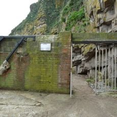
Steep Holm the entrance
4.4 kmReviews
Visited this place? Tap the stars to rate it and share your experience / photos with the community! Try now! You can cancel it anytime.
Discover hidden gems everywhere you go!
From secret cafés to breathtaking viewpoints, skip the crowded tourist spots and find places that match your style. Our app makes it easy with voice search, smart filtering, route optimization, and insider tips from travelers worldwide. Download now for the complete mobile experience.

A unique approach to discovering new places❞
— Le Figaro
All the places worth exploring❞
— France Info
A tailor-made excursion in just a few clicks❞
— 20 Minutes