
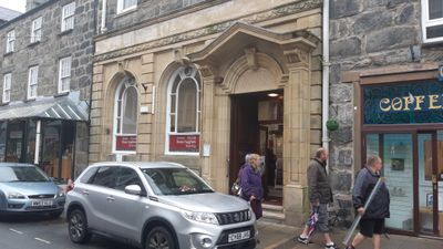
Midland Bank, High Street , Barmouth, Grade II listed building in Gwynedd.
Location: Barmouth
Elevation above the sea: 9.8 m
GPS coordinates: 52.72177,-4.05361
Latest update: September 25, 2025 07:43
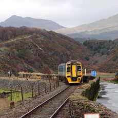
Cambrian Line
2.1 km
Barmouth Bridge
866 m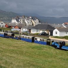
Fairbourne Railway
3 km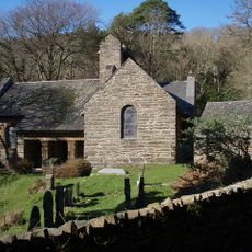
St Philip's Church
4.4 km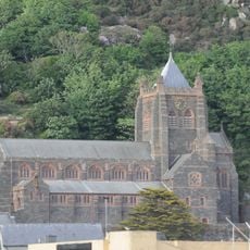
St John's Church
186 m
St Tudwal's Church
478 m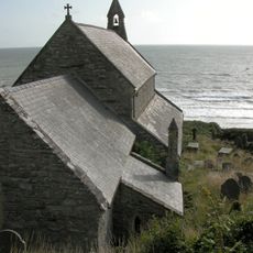
St Mary and Bodfan
2.7 km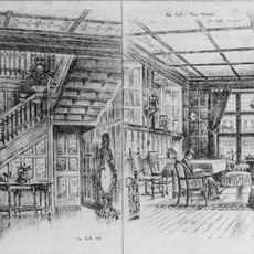
Plas Mynach
1 km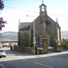
St David's Church
253 m
Craig-y-llyn
6.4 km
Pen y Dinas
5.1 km
Carneddau Hengwm
4.8 km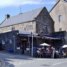
Tŷ Gwyn
300 m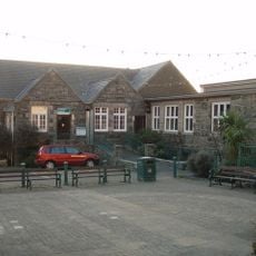
Barmouth Library
168 m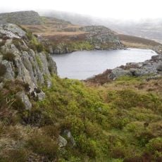
Twr Glas
5.8 km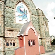
Dragon Theatre
97 m
Chwarel Ty'n-y-Coed
3.8 km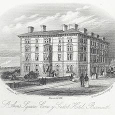
Cors y Gedol Hotel
41 m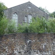
Salem Methodist Chapel
3.5 km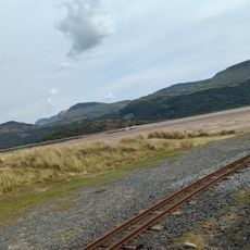
Fairbourne Sands
1.5 km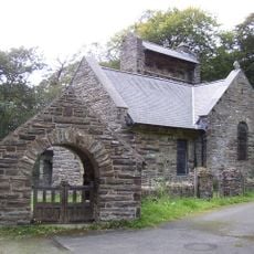
Lychgate at St. Philip's Church, A496 (N Side) Caerdeon
4.4 km
Old Toll House, A 493 (Nw Side) Friog
3.7 km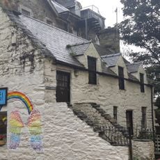
Pen-Y-Crisiau (Formerly Listed as Tan Grisiau), High Strret (Sw Side)
42 m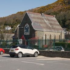
English Congregational Church
88 m
Bryn Melin
626 m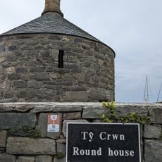
Barmouth Tower House
333 m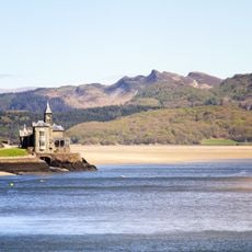
The Clock House, A 496 (S Side), Barmouth Bridge
1.2 km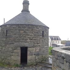
Ty Crwn (The Lock-Up) Abermaw Terrace (Rear), Barmouth Harbour
290 mReviews
Visited this place? Tap the stars to rate it and share your experience / photos with the community! Try now! You can cancel it anytime.
Discover hidden gems everywhere you go!
From secret cafés to breathtaking viewpoints, skip the crowded tourist spots and find places that match your style. Our app makes it easy with voice search, smart filtering, route optimization, and insider tips from travelers worldwide. Download now for the complete mobile experience.

A unique approach to discovering new places❞
— Le Figaro
All the places worth exploring❞
— France Info
A tailor-made excursion in just a few clicks❞
— 20 Minutes