
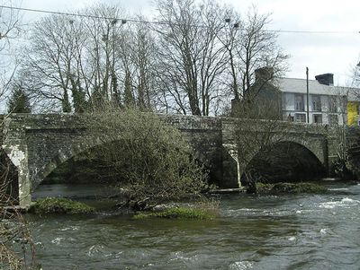
Pont Llanybydder, Grade II listed building in Ceredigion. Situated just W of Llanybydder, carrying B4337 across River Teifi.
Location: Llanwenog
Location: Llanybydder
Elevation above the sea: 97.1 m
GPS coordinates: 52.07574,-4.16141
Latest update: September 23, 2025 16:46
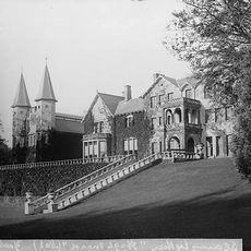
Highmead
2.1 km
Roman Catholic Church of Our Lady of Mount Carmel and attached Presbytery
6.9 km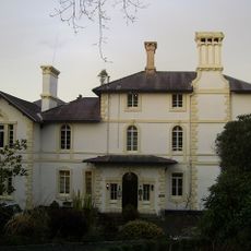
Falcondale House
6.7 km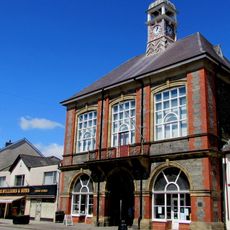
Lampeter Town Hall
6.9 km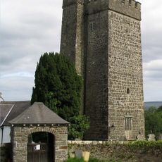
St Gwenog's Church
2.9 km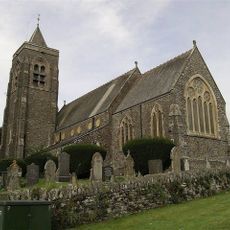
St. Peter's Church
7 km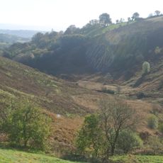
Cefn Blaenau
6.9 km
St Mary's Church, Maestir
6.2 km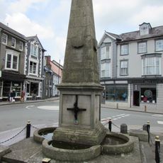
Harford Fountain
7 km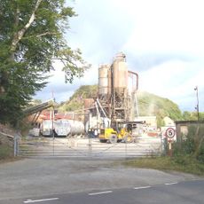
Allt Goch quarry
5.3 km
Rhydybont Chapel
1.5 km
Church of St.David, Llandysul Road, Capel Dewi
7 km
Soar Welsh Independent Chapel
6.9 km
St Lucia and St Gwynin's Church
3.4 km
Capel Noni
4.6 km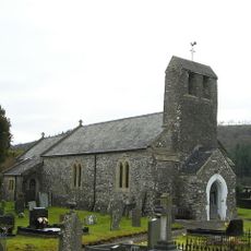
Church of St Patrick
1.8 km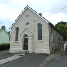
Bethel Welsh Independent Chapel
2.4 km
Alltyblaca Welsh Unitarian Chapel
1.8 km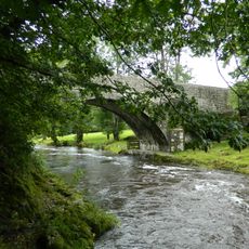
Pont Llwni
5.5 km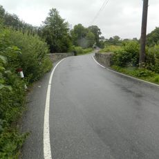
Pont Abercerdinen
4.1 km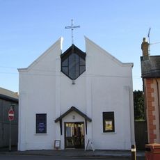
St Thomas Methodist Church
6.9 km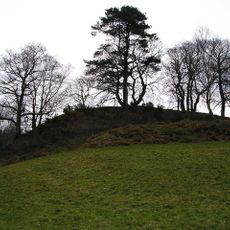
Castell Pyr, Llanllwni
6.6 km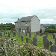
Bryn-Teg Welsh Independent Chapel
3.4 km
Cwrtnewydd Welsh Baptist Church
4.8 km
Capel Y Bryn
4.5 km
Capel Y Groes
4 km
Shiloh Chapel
6.8 km
Waunifor Chapel
6.1 kmReviews
Visited this place? Tap the stars to rate it and share your experience / photos with the community! Try now! You can cancel it anytime.
Discover hidden gems everywhere you go!
From secret cafés to breathtaking viewpoints, skip the crowded tourist spots and find places that match your style. Our app makes it easy with voice search, smart filtering, route optimization, and insider tips from travelers worldwide. Download now for the complete mobile experience.

A unique approach to discovering new places❞
— Le Figaro
All the places worth exploring❞
— France Info
A tailor-made excursion in just a few clicks❞
— 20 Minutes