
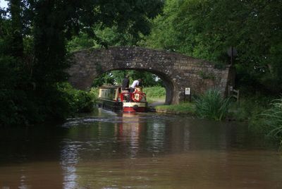
Popular Bridge, Grade II listed building in Monmouthshire. Spanning the canal to the west of Ochram Farm and to north-east of a hairpin bend; carries the lane to Cwm Celyn and beyond.
Location: Llanfoist Fawr
Elevation above the sea: 113.1 m
GPS coordinates: 51.77913,-3.01543
Latest update: September 23, 2025 16:46
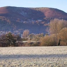
The Blorenge
3.9 km
Castell Arnallt
2 km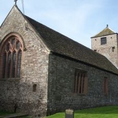
St Cadoc's Church
3 km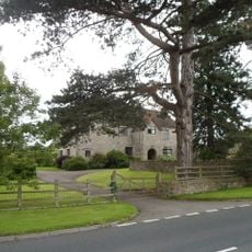
Llangattock Court
3.3 km
Great House
4 km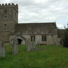
St Bartholomew's Church
1.7 km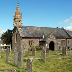
Parish Church of St Helen
1.5 km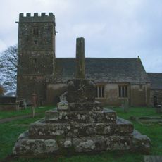
Cross in Churchyard of Church of St. Bartholomew
1.7 km
Hanover Independent Chapel
2.1 km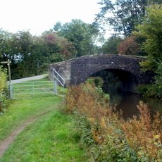
Bridge No. 74
3.9 km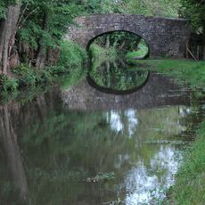
Heol Gerrig Bridge
1.6 km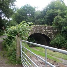
Castle Upper Bridge
3 km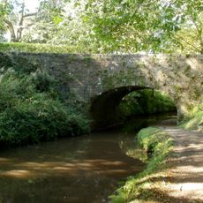
Bridge No. 77
2.5 km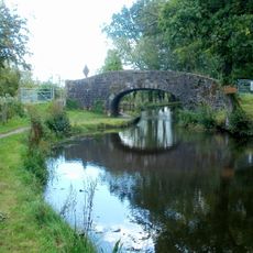
Bridge No. 75
3 km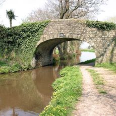
Bridge No. 79 Monmouthshire and Brecon Canal
1.8 km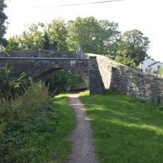
Bridge No. 81 Monmouthshire and Brecon Canal
1.4 km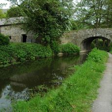
Richards Farm Bridge
2.2 km
Llanellen Bridge
1.7 km
Castle Lower Bridge
2.7 km
Bridge No. 76
2.7 km
Bridge No. 78
2.3 km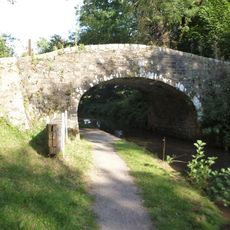
Bridge No. 85 Monmouthshire and Brecon Canal
287 m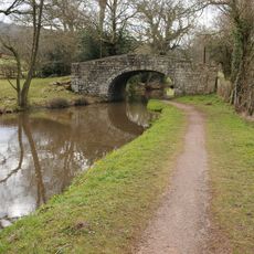
Bridge No. 82 Monmouthshire and Brecon Canal
1.2 km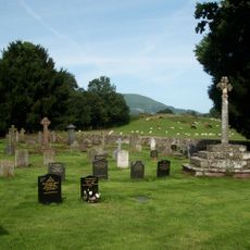
Cross in Churchyard of Church of St. Cadoc
3 km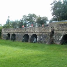
Three Limekilns at Goytre Wharf
3.3 km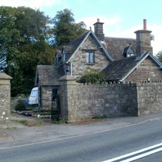
Lodge at Porth Pen-y-parc
1.4 km
Wall, Gatepiers and Gates at Porth Pen-y-parc
1.4 km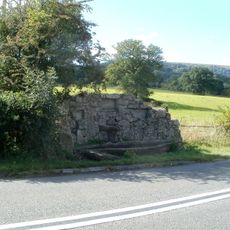
Water Trough opposite Porth Pen-y-parc
1.4 kmReviews
Visited this place? Tap the stars to rate it and share your experience / photos with the community! Try now! You can cancel it anytime.
Discover hidden gems everywhere you go!
From secret cafés to breathtaking viewpoints, skip the crowded tourist spots and find places that match your style. Our app makes it easy with voice search, smart filtering, route optimization, and insider tips from travelers worldwide. Download now for the complete mobile experience.

A unique approach to discovering new places❞
— Le Figaro
All the places worth exploring❞
— France Info
A tailor-made excursion in just a few clicks❞
— 20 Minutes