
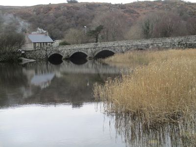
Pont Penllyn, Grade II listed building in Llanberis. Located at the north-western end of Llyn Padarn at the point where it is fed by the Afon Rythallt; the lake and river form the community boundary between Llanberis and Llanddeiniolen.
Location: Llanberis
Location: Llanddeiniolen
Elevation above the sea: 103 m
GPS coordinates: 53.13862,-4.15499
Latest update: September 23, 2025 16:46
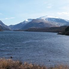
Llyn Padarn
1.8 km
National Slate Museum
3.3 km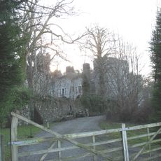
Bryn Bras Castle
1.6 km
Cae Mabon
2 km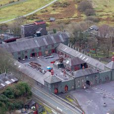
Gilfach Ddu
3.3 km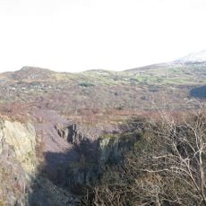
Glynrhonwy Quarries
1.7 km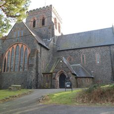
St Padarn's Church
3 km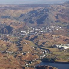
The Slate Landscape of Northwest Wales
3.3 km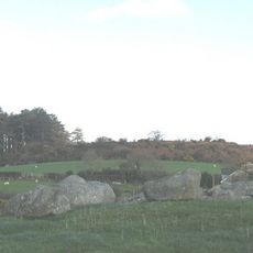
Dinas Dinorwig
3.1 km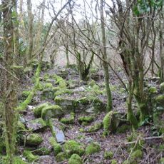
Ffynnon Cegin Arthur
2.6 km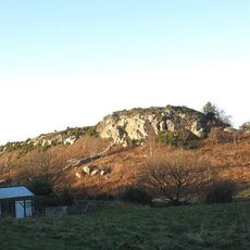
Caer Carreg-y-Fran, Cwm Glo
1.3 km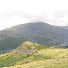
Dinas Tŷ Du
2.6 km
Chwarel Vivian
3.2 km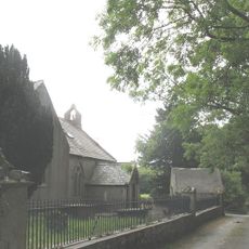
St Michael's Church, Llanrug
3.3 km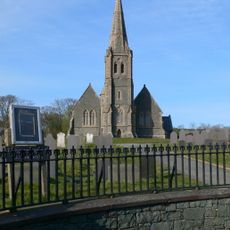
Eglwys Crist (Christ Church), Llandinorwig
2.6 km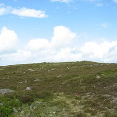
Moel Rhiwen
2.9 km
Dolperis
2.8 km
Deiniolen Library
2.2 km
Dolafon
3.1 km
Ebeneser Welsh Independent Chapel, Deiniolen
2.1 km
Quarry Hospital
2.9 km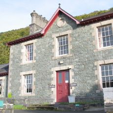
Dinorwic Slate Quarry Hospital
2.9 km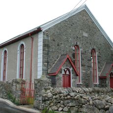
Bryngwyn Welsh Independent Chapel
2 km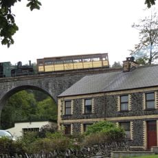
Lower Viaduct
3.5 km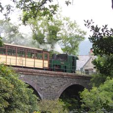
Waterfall Viaduct
3.5 km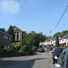
Capel Coch
2.9 km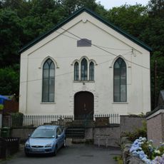
Tabernacl Welsh Independent Chapel
802 m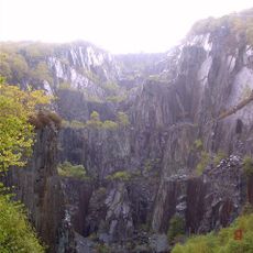
Dinorwig Slate Quarry Mountain Landscape
3.3 kmReviews
Visited this place? Tap the stars to rate it and share your experience / photos with the community! Try now! You can cancel it anytime.
Discover hidden gems everywhere you go!
From secret cafés to breathtaking viewpoints, skip the crowded tourist spots and find places that match your style. Our app makes it easy with voice search, smart filtering, route optimization, and insider tips from travelers worldwide. Download now for the complete mobile experience.

A unique approach to discovering new places❞
— Le Figaro
All the places worth exploring❞
— France Info
A tailor-made excursion in just a few clicks❞
— 20 Minutes