
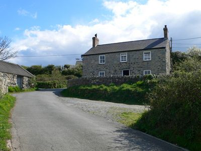
Gwydir-mawr, Grade II listed building in Gwynedd. The house stands to the W of the village on a bend of the road to the harbour.
Location: Llanaelhaearn
Elevation above the sea: 25.4 m
GPS coordinates: 52.99666,-4.42060
Latest update: March 6, 2025 04:12
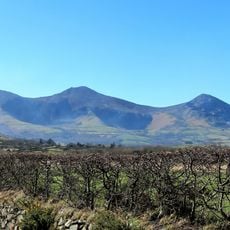
Yr Eifl
2.7 km
Tre'r Ceiri
2.5 km
Gyrn Ddu
2.5 km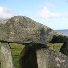
Bach-wen
3.9 km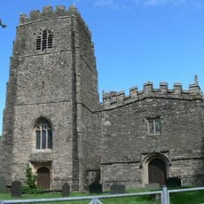
Church of St Beuno, with attached Chapel of St Beuno
4.6 km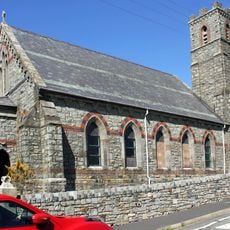
St George's Church
499 m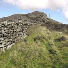
Yr Eifl North Top
2.1 km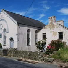
Capel Methodistiaid Calfinaidd
4.4 km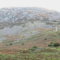
Gyrn Ddu quarry
1.8 km
Capel Seilo
3.5 km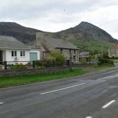
Llwyn-yr-aethnen
206 m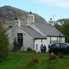
Morfa
610 m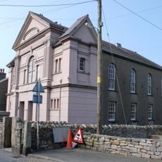
Maes-y-neuadd addoldy annibynwyr
564 m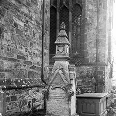
Tomb of Eben Fardd
4.6 km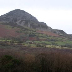
Eifl quarry
1.8 km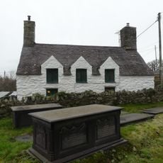
The Court House
4.6 km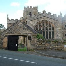
Lychgate to the churchyard of the Church of St Beuno
4.6 km
Maes-glas
4.4 km
Lleiniau-hirion
942 m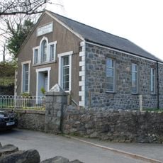
Bethania Welsh Baptist Church
667 m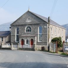
Capel Gosen
460 m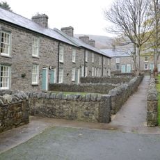
Trem-y-mynydd, with associated front walls
3.5 km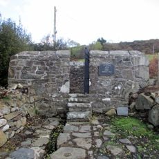
Ffynnon Beuno
4.4 km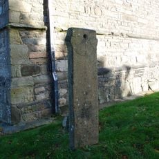
Sundial in the churchyard of the Church of St Beuno
4.6 km
Trem-y-mor, with associated garden walls and walled path
3.5 km
Former SW wing of Bodfasarn
4.5 km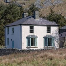
Y Plas, with associated garden and driveway walls
3.5 km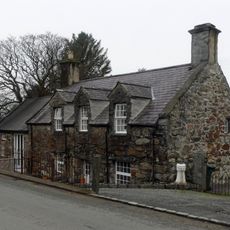
Bodfasarn
4.5 kmReviews
Visited this place? Tap the stars to rate it and share your experience / photos with the community! Try now! You can cancel it anytime.
Discover hidden gems everywhere you go!
From secret cafés to breathtaking viewpoints, skip the crowded tourist spots and find places that match your style. Our app makes it easy with voice search, smart filtering, route optimization, and insider tips from travelers worldwide. Download now for the complete mobile experience.

A unique approach to discovering new places❞
— Le Figaro
All the places worth exploring❞
— France Info
A tailor-made excursion in just a few clicks❞
— 20 Minutes