
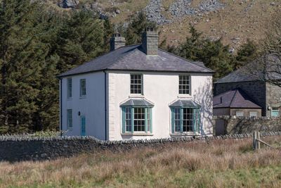
Y Plas, with associated garden and driveway walls, Porth-y-nant is set at the bottom of the steep valley opening to the sea, 1.69km NW of Llithfaen. Y Plas is at the western end of the N range of houses, and is approached by a walled driveway below the communal square.
Location: Pistyll
Elevation above the sea: 69.7 m
GPS coordinates: 52.97574,-4.45978
Latest update: March 3, 2025 05:04
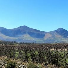
Yr Eifl
1.5 km
Tre'r Ceiri
2.4 km
Gyrn Ddu
5.5 km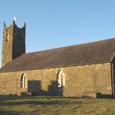
Church of St. Mary
5.9 km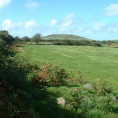
Moel Ty-gwyn
3.6 km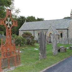
Church Of St Beuno
3.3 km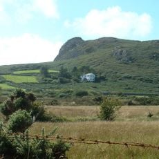
Carreglefain
4.6 km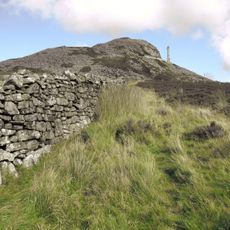
Yr Eifl North Top
1.4 km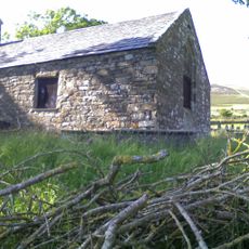
Church of St Beuno
3.9 km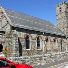
St George's Church
3.1 km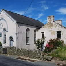
Capel Methodistiaid Calfinaidd
1.9 km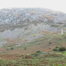
Gyrn Ddu quarry
4.8 km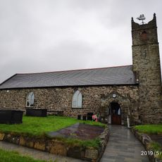
Amgueddfa Forwrol Llŷn Maritime Museum
5.9 km
Capel Seilo
113 m
Carreg-y-Llam quarry
1.7 km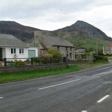
Llwyn-yr-aethnen
3.3 km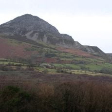
Eifl quarry
1.7 km
Maes-y-neuadd addoldy annibynwyr
3 km
Morfa
3 km
Llŷn Maritime Museum
5.9 km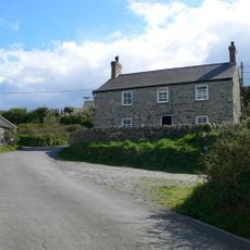
Gwydir-mawr
3.5 km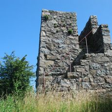
Nefyn Watch Tower
6.1 km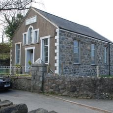
Bethania Welsh Baptist Church
2.8 km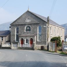
Capel Gosen
3.1 km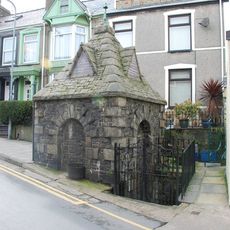
St Mary's Well
6 km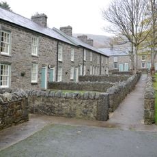
Trem-y-mynydd, with associated front walls
36 m
Lleiniau-hirion
2.7 km
Trem-y-mor, with associated garden walls and walled path
84 mReviews
Visited this place? Tap the stars to rate it and share your experience / photos with the community! Try now! You can cancel it anytime.
Discover hidden gems everywhere you go!
From secret cafés to breathtaking viewpoints, skip the crowded tourist spots and find places that match your style. Our app makes it easy with voice search, smart filtering, route optimization, and insider tips from travelers worldwide. Download now for the complete mobile experience.

A unique approach to discovering new places❞
— Le Figaro
All the places worth exploring❞
— France Info
A tailor-made excursion in just a few clicks❞
— 20 Minutes