
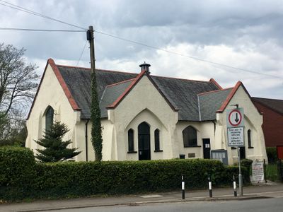
Creigiau Church Hall, Grade II listed building in Pentyrch. In the centre of the village, a little set back from the main thoroughfare in a grassy plot.
Location: Pentyrch
Elevation above the sea: 69.8 m
GPS coordinates: 51.52447,-3.32483
Latest update: April 30, 2025 15:41
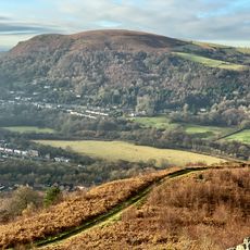
Garth Hill
2.9 km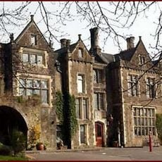
Miskin Manor
2.8 km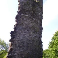
Llantrisant Castle
3.9 km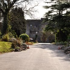
Craig-y-parc House
1.5 km
The Guildhall
4 km
St Catwg's Church
2.2 km
St David's Church
3.5 km
Statue of Dr William Price
4 km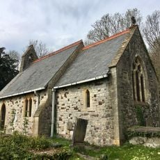
Church of St Elldeyrn at Capel Llanilltern
2 km
Caerau, Llantrisant
2.4 km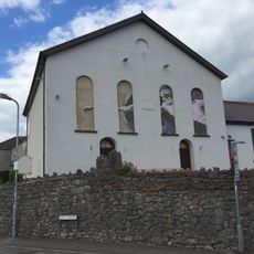
Horeb Presbyterian Church including attached hall to right
2 km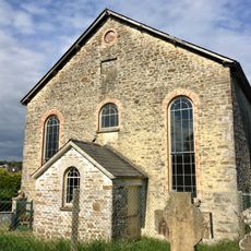
Former Penuel Chapel
1.9 km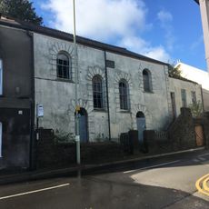
Penuel Presbyterian Church of Wales including forecourt walls and railings
3.9 km
Ebenezer Calvinistic Methodist Chapel
3.6 km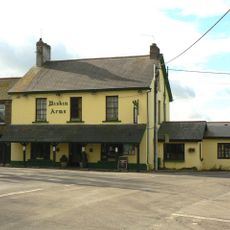
Miskin Arms
3.6 km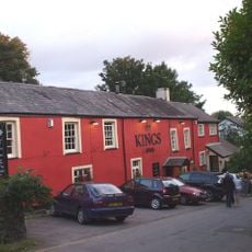
The King's Arms Public House
2.3 km
Llantrisant Library
3.8 km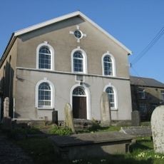
Babell Calvinistic Methodist Chapel
1.3 km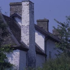
Castell-y-mynach
388 m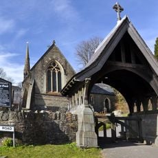
Lychgate at church of St Catwg
2.2 km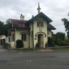
Hafod Lodge to Hensol Castle (Also Known as Bottom Lodge), Hensol
3.8 km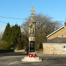
Miskin War Memorial
3.6 km
Wall with bee boles at Tondrugwaer
2.9 km
Boiler stack of former lead mine NW of Cefn-parc Farm
3.4 km
Cefn Mabley Farmhouse
3.9 km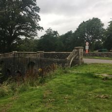
Bridge On Main Drive to Hensol Castle,Hensol
3.9 km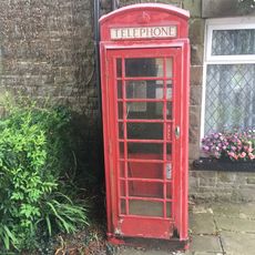
Telephone Call-box
3.6 km
Tabernacle Independent Chapel
3.2 kmVisited this place? Tap the stars to rate it and share your experience / photos with the community! Try now! You can cancel it anytime.
Discover hidden gems everywhere you go!
From secret cafés to breathtaking viewpoints, skip the crowded tourist spots and find places that match your style. Our app makes it easy with voice search, smart filtering, route optimization, and insider tips from travelers worldwide. Download now for the complete mobile experience.

A unique approach to discovering new places❞
— Le Figaro
All the places worth exploring❞
— France Info
A tailor-made excursion in just a few clicks❞
— 20 Minutes