Enable Location

We need your location to show you interesting places around you

Discover nearby places

Find interesting locations and hidden gems around you

Precise directions

Get accurate directions and distances to places

Your location is never shared with other users. It's only used when you tap the location button.

Butler County

Log in to your account

Start exploring — it's free

Trusted by 62,926 travelers worldwide

Continue with Google
Continue with Apple
or

We will send you a code to connect

By continuing, you accept our Terms and Conditions and our Privacy Policy

Check your inbox

We've sent a pincode in your inbox. Please enter the code below.

Discussion Reviews 1 Photos
0 Popularity

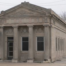
Butler County, County in eastern Nebraska, United States.

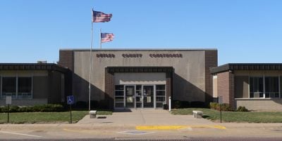
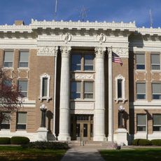
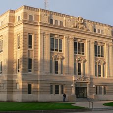
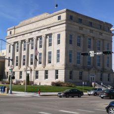
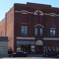
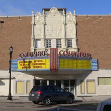
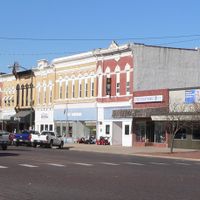
Butler County is an administrative county in eastern Nebraska, United States. The area centers around David City, which serves as the seat of county government and main population hub.

The territory was established in 1856 and named after William Orlando Butler, a Kentucky congressman and general in the Mexican-American War. The region grew as an agricultural center during Nebraska's early settlement period.

David City hosts regular agricultural fairs and community gatherings that maintain the traditions of Nebraska farming families throughout the seasons.

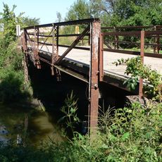
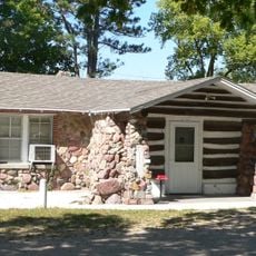
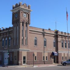
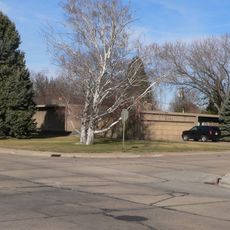
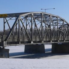
The area is primarily rural and best explored by car to see its scattered communities and open landscape. David City provides basic services and amenities for travelers passing through or staying briefly.

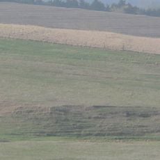
The county maintains a population density of only 15 residents per square mile, making it one of the most sparsely populated regions in eastern Nebraska.

The community of curious travelers

AroundUs brings together thousands of curated places, local tips, and hidden gems, enriched daily by 60,000 contributors worldwide.

Start exploring
Location
Inception
1868
Capital city
David City
Shares border with
Colfax County, Seward County, Lancaster County, Saunders County, Polk County, Platte County, Dodge County, York County
GPS coordinates
41.22000,-97.13000
Latest update
December 15, 2025 13:21
Around this place
Christ the King Priory
United States of America

Christ the King Priory

32.8 km
Big Blue River Bridge
United States of America

Big Blue River Bridge

18.9 km
Oak Ballroom
United States of America

Oak Ballroom

24.9 km
Columbus Izaak Walton League Lodge
United States of America

Columbus Izaak Walton League Lodge

28.9 km
Upper Oak Creek Descent Ruts of the Woodbury Cutoff, Ox Bow Trail of the California Road
United States of America

Upper Oak Creek Descent Ruts of the Woodbury Cutoff, Ox Bow Trail of the California Road

16.2 km
St. Mary of the Assumption Catholic Church, School and Grottoes
United States of America

St. Mary of the Assumption Catholic Church, School and Grottoes

17.6 km
Clem's Opera House
United States of America

Clem's Opera House

31.3 km
Chauncey S. Taylor House
United States of America

Chauncey S. Taylor House

4.2 km
Germantown State Bank Building
United States of America

Germantown State Bank Building

32.9 km
Clear Creek Bridge
United States of America

Clear Creek Bridge

25.1 km
Rad Plzen cis. 9 Z.C.B.J.
United States of America

Rad Plzen cis. 9 Z.C.B.J.

38.4 km
Frederick L. and L. Frederick Gottschalk Houses
United States of America

Frederick L. and L. Frederick Gottschalk Houses

30.1 km
Polk County Courthouse
United States of America

Polk County Courthouse

35.2 km
Colfax County Courthouse
United States of America

Colfax County Courthouse

26 km
Schuyler Carnegie Library
United States of America

Schuyler Carnegie Library

26 km
Surprise Opera House
United States of America

Surprise Opera House

20 km
Gov. John Hopwood Mickey House
United States of America

Gov. John Hopwood Mickey House

35.4 km
Platte County Courthouse
United States of America

Platte County Courthouse

30.3 km
Schuyler City Hall
United States of America

Schuyler City Hall

26 km
Deutsche Evangelisch Lutherische Zion Kirche
United States of America

Deutsche Evangelisch Lutherische Zion Kirche

29.4 km
Dr. Carroll D. and Lorena R. North Evans House
United States of America

Dr. Carroll D. and Lorena R. North Evans House

30 km
Walter and Ruby Behlen House
United States of America

Walter and Ruby Behlen House

30.8 km
Albert and Lina Stenger House
United States of America

Albert and Lina Stenger House

27.8 km
H.E. Snyder House
United States of America

H.E. Snyder House

30.4 km
John Janecek House
United States of America

John Janecek House

25.8 km
Thorpe's Opera House
United States of America

Thorpe's Opera House

3.6 km
Columbus Theater
United States of America

Columbus Theater

30.1 km
Columbus Loup River Bridge
United States of America

Columbus Loup River Bridge

29.6 km
Show the full map
Reviews
Share your experience

No review yet

Discussions
Start a discussion...

No discussion yet

Administrative divisions
« Butler County - County in eastern Nebraska, United States » is provided by Around Us (aroundus.com). Images and texts are derived from Wikimedia project under a Creative Commons license. You are allowed to copy, distribute, and modify copies of this page, under the conditions set by the license, as long as this note is clearly visible.

Discover hidden gems everywhere you go!

From secret cafés to breathtaking viewpoints, skip the crowded tourist spots and find places that match your style. Our app makes it easy with voice search, smart filtering, route optimization, and insider tips from travelers worldwide. Download now for the complete mobile experience.

Around Us App Screenshot

A unique approach to discovering new places

Le Figaro

All the places worth exploring

France Info

A tailor-made excursion in just a few clicks

20 Minutes

Around Us
Travel Guide & Maps
Download

Send to your phone

QR Code
1

Open the camera app on your mobile.

2

Point at the QR code with your camera. A notification will appear.

3

Tap the notification to open the link.