Enable Location

We need your location to show you interesting places around you

Discover nearby places

Find interesting locations and hidden gems around you

Precise directions

Get accurate directions and distances to places

Your location is never shared with other users. It's only used when you tap the location button.

Howard County

Log in to your account

Start exploring — it's free

Trusted by 61,854 travelers worldwide

Continue with Google
Continue with Apple
or

We will send you a code to connect

By continuing, you accept our Terms and Conditions and our Privacy Policy

Check your inbox

We've sent a pincode in your inbox. Please enter the code below.

Howard County, County in Iowa, United States.

Description

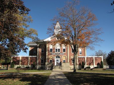
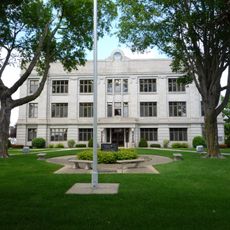
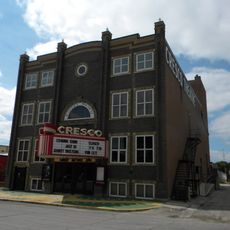
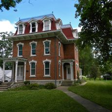
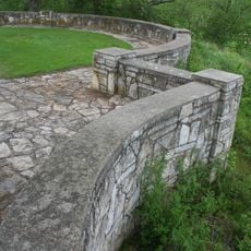
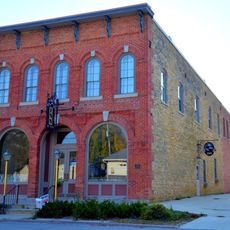
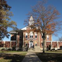
Howard County is a rural county in northeastern Iowa, with rolling farmland and several small communities scattered across the landscape. Cresco serves as the county seat and main hub for the region.

History

The county was established in 1851 and named after U.S. Representative Tilghman Ashurst Howard from Indiana. Its creation followed the wave of settlement that brought farmers and communities to northeastern Iowa.

Culture

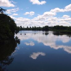
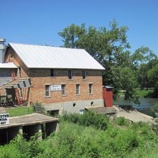
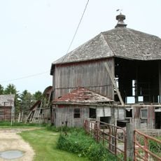
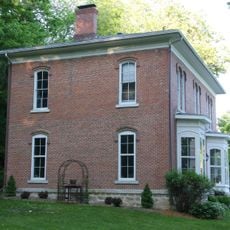
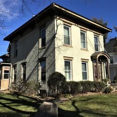
Family farms shape daily life across the county, with generations of residents working the land and building rural communities together. You see this heritage reflected in the small towns and their connection to agriculture.

Practical

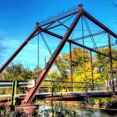
The county is accessible via U.S. Highway 63 and Iowa Highways 9 and 139, which connect Cresco and surrounding communities. A car is essential for exploring the area, as towns are spread across the landscape.

Did you know?

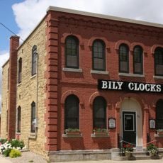
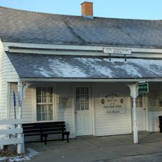
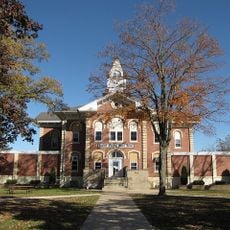
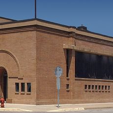
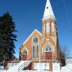
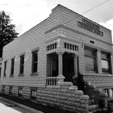
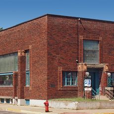
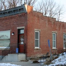
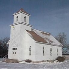
The county borders Minnesota to the north and includes communities like Chester, Elma, Lime Springs, Protivin, and Riceville scattered throughout its boundaries. Each of these towns has its own character and serves as a gathering point for nearby farming areas.

Location
Inception
1851
Capital city
Cresco
Shares border with
Fillmore County, Chickasaw County, Winneshiek County, Mitchell County, Floyd County, Mower County
GPS coordinates
43.35750,-92.31556
Latest update
December 15, 2025 13:21

AroundUs brings together thousands of curated places, local tips, and hidden gems, enriched daily by 60,000 contributors worldwide. Discover all places nearby (Iowa).

Around this place
Forestville/Mystery Cave State Park
United States of America

Forestville/Mystery Cave State Park

32.5 km
Bily Clock Museum
United States of America

Bily Clock Museum

34.2 km
Niagara Cave
United States of America

Niagara Cave

27.3 km
Lake Louise State Park
United States of America

Lake Louise State Park

25.9 km
Burr Oak House/Masters Hotel
United States of America

Burr Oak House/Masters Hotel

38 km
Lidtke Mill
United States of America

Lidtke Mill

12.3 km
Chickasaw County Courthouse
United States of America

Chickasaw County Courthouse

22 km
Howard County Courthouse
United States of America

Howard County Courthouse

16.1 km
Cresco Opera House
United States of America

Cresco Opera House

16.2 km
Kellow House
United States of America

Kellow House

15.9 km
First State Bank of Le Roy
United States of America

First State Bank of Le Roy

22.8 km
Kinney Octagon Barn
United States of America

Kinney Octagon Barn

38.4 km
Spring Valley Methodist Episcopal Church
United States of America

Spring Valley Methodist Episcopal Church

37.3 km
Osage Commercial Historic District
United States of America

Osage Commercial Historic District

41 km
Preston Overlook
United States of America

Preston Overlook

40.2 km
Fort Atkinson Bridge
United States of America

Fort Atkinson Bridge

38.8 km
Bohemian Savings Bank
United States of America

Bohemian Savings Bank

23.9 km
Pietenpol Workshop and Garage
United States of America

Pietenpol Workshop and Garage

25.8 km
Horn House
United States of America

Horn House

39.7 km
First National Bank of Adams
United States of America

First National Bank of Adams

40.1 km
James C. Fellows House
United States of America

James C. Fellows House

19.1 km
LeRoy Public Library
United States of America

LeRoy Public Library

22.9 km
South Ward School
United States of America

South Ward School

16.1 km
Burr Oak Savings Bank
United States of America

Burr Oak Savings Bank

38.1 km
Howardville Wesleyan Church
United States of America

Howardville Wesleyan Church

37.1 km
Wenzil Taylor Building
United States of America

Wenzil Taylor Building

34.3 km
Nathaniel Cobb and Lucetia Baily Deering House
United States of America

Nathaniel Cobb and Lucetia Baily Deering House

40.7 km
Lake Louise
United States of America

Lake Louise

25.2 km
Show the full map
Administrative divisions
« Howard County - County in Iowa, United States » is provided by Around Us (aroundus.com). Images and texts are derived from Wikimedia project under a Creative Commons license. You are allowed to copy, distribute, and modify copies of this page, under the conditions set by the license, as long as this note is clearly visible.

Discover hidden gems everywhere you go!

From secret cafés to breathtaking viewpoints, skip the crowded tourist spots and find places that match your style. Our app makes it easy with voice search, smart filtering, route optimization, and insider tips from travelers worldwide. Download now for the complete mobile experience.

Around Us App Screenshot

A unique approach to discovering new places

Le Figaro

All the places worth exploring

France Info

A tailor-made excursion in just a few clicks

20 Minutes

Around Us
Travel Guide & Maps
Download

Send to your phone

QR Code
1

Open the camera app on your mobile.

2

Point at the QR code with your camera. A notification will appear.

3

Tap the notification to open the link.