
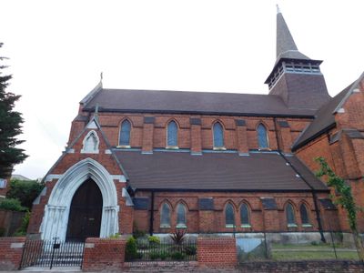
Former Church of St Paul, church building in Hackney, Greater London, UK
Location: London Borough of Hackney
GPS coordinates: 51.55170,-0.04126
Latest update: March 5, 2025 22:26
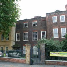
Sutton House
728 m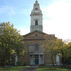
Church of St John-at-Hackney
881 m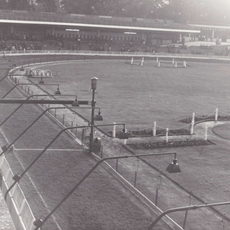
Clapton Stadium
740 m
Clapton Square
838 m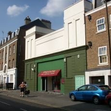
Castle Cinema
224 m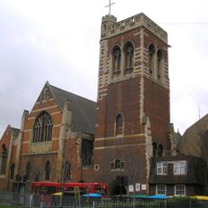
St Mary of Eton
1 km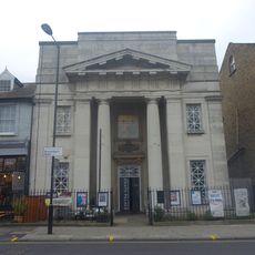
Chats Palace
189 m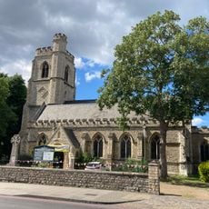
Church of St Barnabas
329 m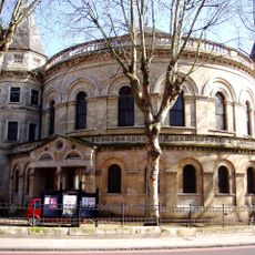
United Reformed Church
743 m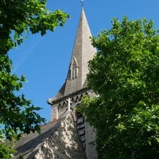
Church of St Luke
831 m
The Plough Inn
593 m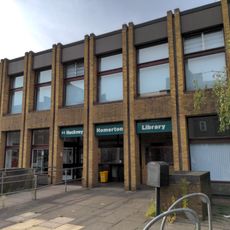
Homerton Library
307 m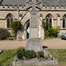
Homerton War Memorial
348 m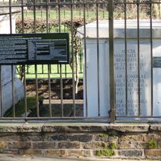
Beaufort Family Tomb, St John At Hackney Churchyard Gardens
855 m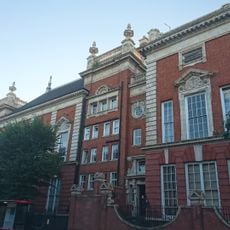
South Hackney Upper School
913 m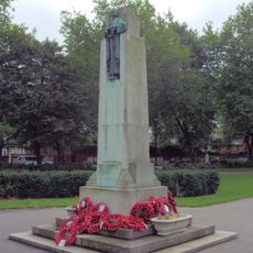
Hackney War Memorial
882 m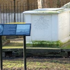
Hunter Family Tomb, St John At Hackney Churchyard Gardens
845 m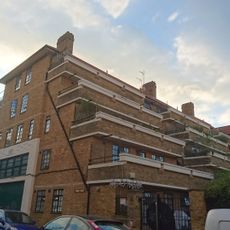
1-35 Lennox House
950 m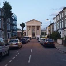
Salvation Army Congress Hall
720 m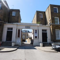
The Salvation Army Mothers' Hospital, Front Buildings
901 m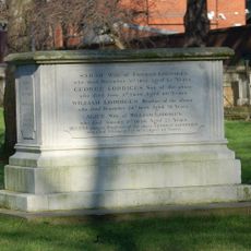
Loddiges Family Tomb, St John At Hackney Churchyard Gardens
846 m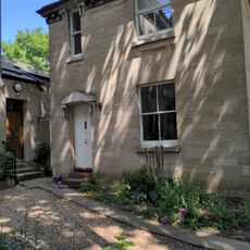
Verger's House To United Reformed Church
724 m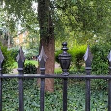
Railings Around Clapton Square Garden
859 m
26 And 28, Lower Clapton Road E5
723 m
158 And 160, Lower Clapton Road E5
1 km
126 And 128, Lower Clapton Road E5
924 m
140 And 142, Homerton High Street E9
469 m
St Barnabas's Vicarage
365 mReviews
Visited this place? Tap the stars to rate it and share your experience / photos with the community! Try now! You can cancel it anytime.
Discover hidden gems everywhere you go!
From secret cafés to breathtaking viewpoints, skip the crowded tourist spots and find places that match your style. Our app makes it easy with voice search, smart filtering, route optimization, and insider tips from travelers worldwide. Download now for the complete mobile experience.

A unique approach to discovering new places❞
— Le Figaro
All the places worth exploring❞
— France Info
A tailor-made excursion in just a few clicks❞
— 20 Minutes