
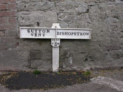
Boundary Post, boundary marker in Sutton Veny, Wiltshire, UK
Location: Sutton Veny
Part of: political border
GPS coordinates: 51.19130,-2.15394
Latest update: April 3, 2025 07:51
St John's Church, Warminster
1.3 km
Scratchbury Camp
2.1 km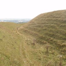
Battlesbury Camp
2.1 km
Warminster Athenaeum
2.5 km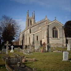
Christ Church, Warminster
2.5 km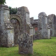
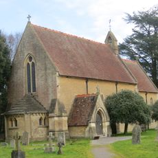
St Leonard's Church, Sutton Veny
2.5 km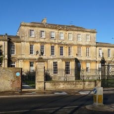
Portway House
2.7 km
Town Hall
2.4 km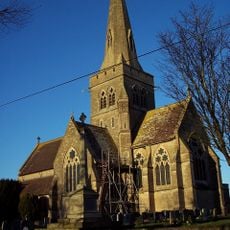
Church of St John the Evangelist
2.1 km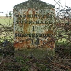
Milestone, Deverill Road; opp. no 124 (farm cottage)
2.6 km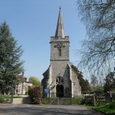
Church of St Aldhelm
255 m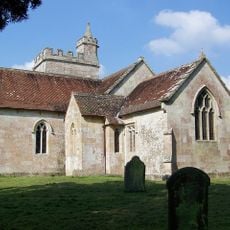
All Saints' Church
1.4 km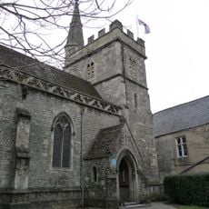
Chapel Of St Lawrence
2.5 km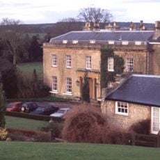
Bishopstrow House Hotel
827 m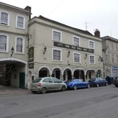
The Old Bell Public House
2.3 km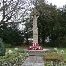
Warminster War Memorial
2.6 km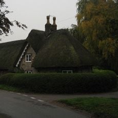
Turnpike Cottage
1.7 km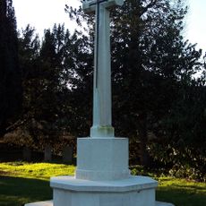
Sutton Veny War Memorial
2.1 km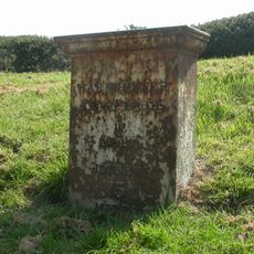
Milestone
2.2 km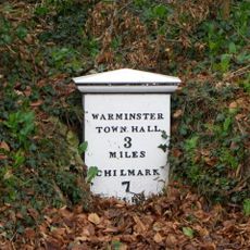
Milepost Opposite Sutton Veny County Primary School
2 km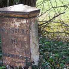
Milepost About 250 Metres West Of Drive To Old Rectory
1.2 km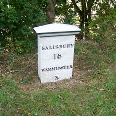
Milepost About 150 Metres To East Of Junction With B3095
2.6 km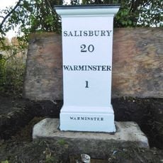
Milestone about 70 yards from turning to Boreham
757 m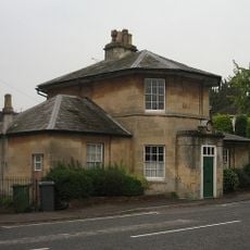
Holly Lodge
1.5 km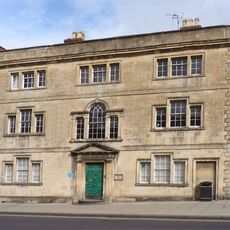
The Chantry
2.6 km
Robin Hood's Bower earthwork enclosure in Southleigh Wood
2.1 km
Milestone, 100m E jcn road to Norton Bavant 50m E of Langleys Gore
2 km
Milepost, 200m S of A303 jct
600 mReviews
Visited this place? Tap the stars to rate it and share your experience / photos with the community! Try now! You can cancel it anytime.
Discover hidden gems everywhere you go!
From secret cafés to breathtaking viewpoints, skip the crowded tourist spots and find places that match your style. Our app makes it easy with voice search, smart filtering, route optimization, and insider tips from travelers worldwide. Download now for the complete mobile experience.

A unique approach to discovering new places❞
— Le Figaro
All the places worth exploring❞
— France Info
A tailor-made excursion in just a few clicks❞
— 20 Minutes