7 And 8, Bordyke, building in Tonbridge and Malling, Kent, UK
Location: Tonbridge and Malling
GPS coordinates: 51.19891,0.27678
Latest update: November 21, 2025 04:02
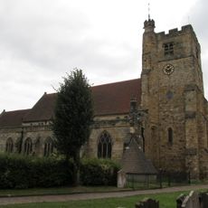
Church of St Peter and St Paul
134 m
Church House (Ymca)
128 m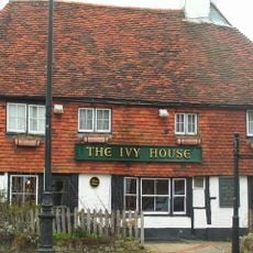
Ivy House Public House
40 m
Ferox Hall
67 m
Minerva House Minerva House Annexe
29 m
The South Half Of The Main School Buildings Tonbridge School
148 m
157, High Street
141 m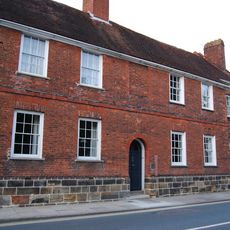
The Red House
49 m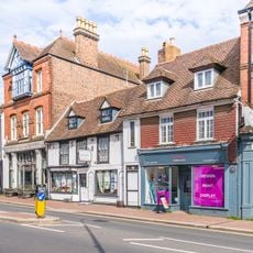
161, High Street
128 m
175-195, High Street
65 m
12, Bordyke
84 m
Graylings
81 m
186 High Street
102 m
212, High Street
76 m
The Priory
37 m
Town banks
114 m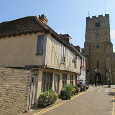
Tyger's Head
133 m
15, Bordyke
155 m
Garden Wall To North And East Of Ferox Hall
57 m
184 184A 184B, High Street
102 m
K6 Telephone Kiosk
151 m
Bordyke House
61 m
13 And 14, Bordyke
95 m
Garden Wall At The Cedars
149 m
167-173, High Street
105 m
163, High Street
122 m
The Headmaster's House The Skinners' School Library Tonbridge School
109 m
School Museum (The Old Chapel) Tonbridge School
143 mReviews
Visited this place? Tap the stars to rate it and share your experience / photos with the community! Try now! You can cancel it anytime.
Discover hidden gems everywhere you go!
From secret cafés to breathtaking viewpoints, skip the crowded tourist spots and find places that match your style. Our app makes it easy with voice search, smart filtering, route optimization, and insider tips from travelers worldwide. Download now for the complete mobile experience.

A unique approach to discovering new places❞
— Le Figaro
All the places worth exploring❞
— France Info
A tailor-made excursion in just a few clicks❞
— 20 Minutes