
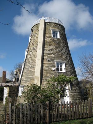
The Round House, former windmill in Leeds, West Yorkshire
Location: Leeds
Inception: 18 century
Floors above the ground: 4
Made from material: gritstone, wrought iron
GPS coordinates: 53.82348,-1.54829
Latest update: March 3, 2025 07:27
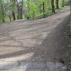
Woodhouse Ridge
865 m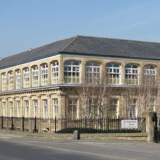
Sugarwell Court
587 m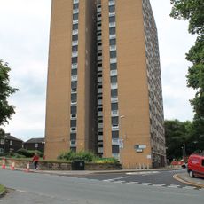
Potternewton Heights
504 m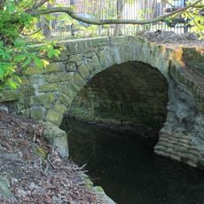
Packhorse bridge over Meanwood Beck
891 m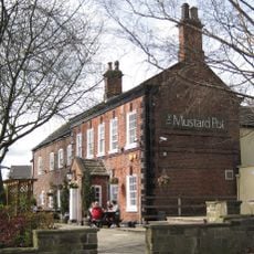
The Mustard Pot Public House And Restaurant
828 m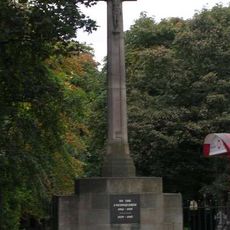
Chapel Allerton War Memorial
892 m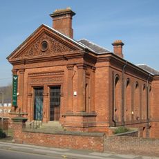
Former Baptist School
616 m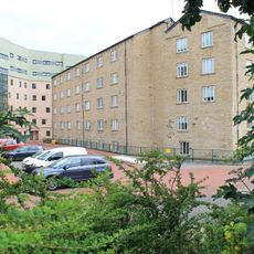
Carr Mills
836 m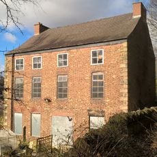
Scott Hall
797 m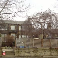
Glan Nua
788 m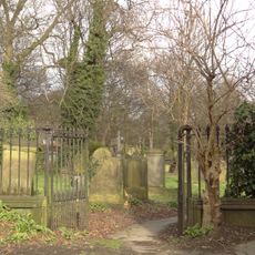
Gateway To Chapel Allerton Old Graveyard
905 m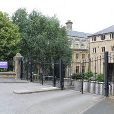
Roadside Railings, Gate Piers And Gate To Sugarwell Court
608 m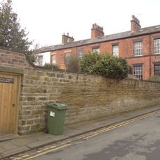
Newton Terrace
756 m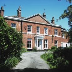
Rose Mount
725 m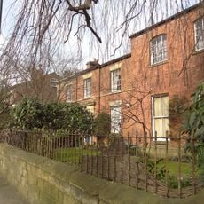
Number 80 And Attached Wall
893 m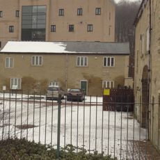
Building Approximately 30 Metres North East Of Entrance To Carr Mills
876 m
Allerton Hall
745 m
70 And 72, Potternewton Lane
803 m
Quarrie Dene
671 m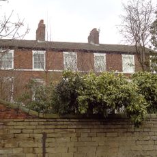
80, 82 And 84, Potternewton Lane
719 m
Boundary Wall To Numbers 66, 68 And 70 (Newton Villa)
614 m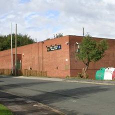
Jubilee Social Club
905 m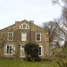
Newton Villa
644 m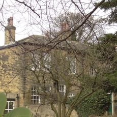
68 And 70, Hen Conner Lane
634 m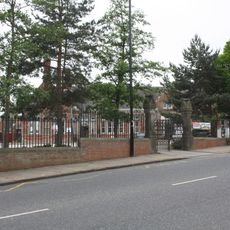
Railings And Gate Piers At Chapel Allerton Primary School
814 m
90 And 92, Potternewton Lane
668 m
Entrance Range To Carr Mills
904 m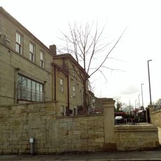
Stratford House
806 mReviews
Visited this place? Tap the stars to rate it and share your experience / photos with the community! Try now! You can cancel it anytime.
Discover hidden gems everywhere you go!
From secret cafés to breathtaking viewpoints, skip the crowded tourist spots and find places that match your style. Our app makes it easy with voice search, smart filtering, route optimization, and insider tips from travelers worldwide. Download now for the complete mobile experience.

A unique approach to discovering new places❞
— Le Figaro
All the places worth exploring❞
— France Info
A tailor-made excursion in just a few clicks❞
— 20 Minutes