
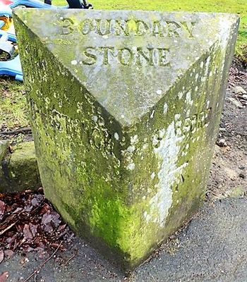
Boundary Stone At Sd 829 023, boundary marker in Salford, Greater Manchester, UK
Location: Salford
Part of: political border
GPS coordinates: 53.51781,-2.25784
Latest update: March 2, 2025 20:16
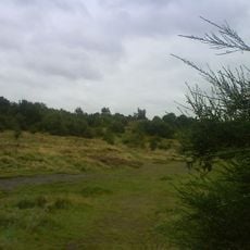
Kersal Moor
1.3 km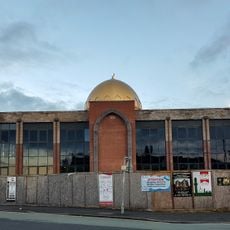
North Manchester Jamia Mosque
1.3 km
Greek Orthodox Church of the Annunciation, Manchester
1.3 km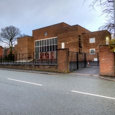
Heaton Park Hebrew Congregation
644 m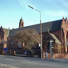
St James' Church, Higher Broughton
1.4 km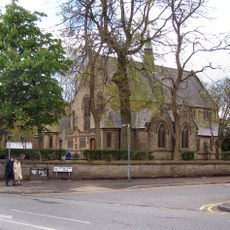
St Mary's Ukrainian Catholic Church, Manchester
748 m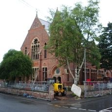
Heaton Park Congregational Church
1.7 km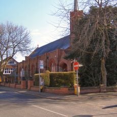
Church of St Hilda
1.5 km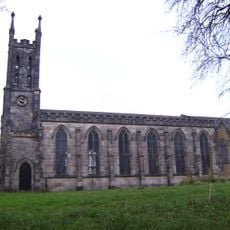
Church of St John Evangelist
1.5 km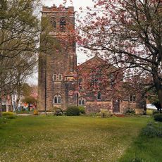
Church of St Matthew with St Mary
1.5 km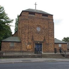
Church of St Gabriel
594 m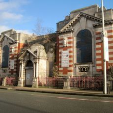
Crumpsall and Cheetham Library
1.1 km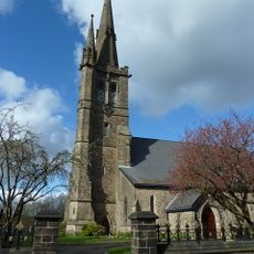
Church of St Paul
1 km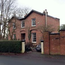
437, Lower Broughton Road
1.5 km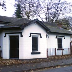
Former Kersal Bar Toll House
813 m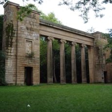
Colonnade by lake to south of Heaton Hall
1.2 km
464, Lower Broughton Road
1.2 km
466, Lower Broughton Road
1.2 km
457 And 459, Lower Broughton Road
1.3 km
Cliff House
1.3 km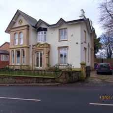
Scarr Wheel House
1.5 km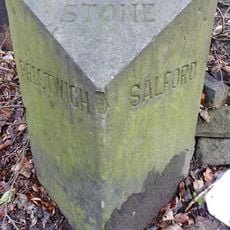
Boundary Stone At Sd 830 023
79 m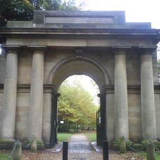
Grand Lodge To South South West Of Heaton Hall With Screen Walls And Wall Attached To West
895 m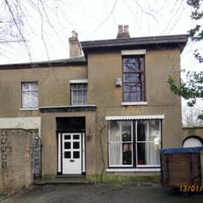
453, Lower Broughton Road
1.3 km
455, Lower Broughton Road
1.3 km
Rookwood Wrenwood
1.5 km
Number 451 And Attached Former Coach House
1.4 km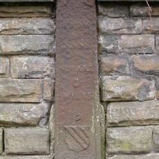
Milepost, Bury Old Road; opp. No. 181, opp cultural centre
109 mReviews
Visited this place? Tap the stars to rate it and share your experience / photos with the community! Try now! You can cancel it anytime.
Discover hidden gems everywhere you go!
From secret cafés to breathtaking viewpoints, skip the crowded tourist spots and find places that match your style. Our app makes it easy with voice search, smart filtering, route optimization, and insider tips from travelers worldwide. Download now for the complete mobile experience.

A unique approach to discovering new places❞
— Le Figaro
All the places worth exploring❞
— France Info
A tailor-made excursion in just a few clicks❞
— 20 Minutes