1, Portman Park, building in Tonbridge and Malling, Kent, UK
Location: Tonbridge and Malling
GPS coordinates: 51.20073,0.27751
Latest update: November 21, 2025 04:48

Cloister At The Chapel Tonbridge School
190 m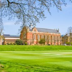
The Chapel Tonbridge School
165 m
Ferox Hall
160 m
The South Half Of The Main School Buildings Tonbridge School
164 m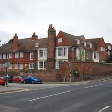
The Manor House
127 m
The George And Dragon Public House
98 m
22 And 23, Shipbourne Road
136 m
21 And 23, London Road
170 m
Andrew House
144 m
212, High Street
205 m
Graylings
195 m
The North Half Of The Main School Buildings Tonbridge School
124 m
19, Shipbourne Road
118 m
Dry Hill Farm House And Cottage Adjoining Dry Hill Farm House
85 m
9 And 11, London Road
131 m
27 And 29, London Road
189 m
3, Shipbourne Road
36 m
20 And 21, Shipbourne Road
125 m
1 and 2, Shipbourne Road
30 m
4, Shipbourne Road
55 m
Garden Wall To North And East Of Ferox Hall
152 m
Hanover House
46 m
K6 Telephone Kiosk
79 m
24, Shipbourne Road
142 m
The Headmaster's House The Skinners' School Library Tonbridge School
168 m
School Museum (The Old Chapel) Tonbridge School
122 m
17 And 19, London Road
157 m
EM Forster Theatre
122 mReviews
Visited this place? Tap the stars to rate it and share your experience / photos with the community! Try now! You can cancel it anytime.
Discover hidden gems everywhere you go!
From secret cafés to breathtaking viewpoints, skip the crowded tourist spots and find places that match your style. Our app makes it easy with voice search, smart filtering, route optimization, and insider tips from travelers worldwide. Download now for the complete mobile experience.

A unique approach to discovering new places❞
— Le Figaro
All the places worth exploring❞
— France Info
A tailor-made excursion in just a few clicks❞
— 20 Minutes