
St Anne's Presbytery, architectural structure in Tower Hamlets, Greater London, UK
Location: London Borough of Tower Hamlets
GPS coordinates: 51.52116,-0.06751
Latest update: March 6, 2025 03:38


Brick Lane Market
379 m
Brick Lane Mosque
359 m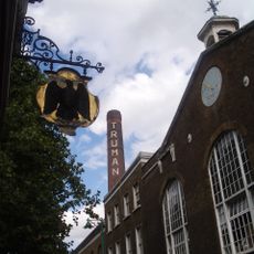
Black Eagle Brewery
265 m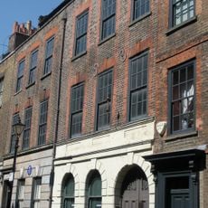
Museum of Immigration and Diversity
374 m
Spitalfields City Farm
100 m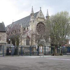
Church of St Anne (roman Catholic)
28 m
Rough Trade East
343 m
The Directors' House, Truman Brewery
319 m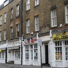
114-122, Brick Lane
315 m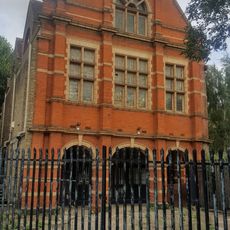
Davenant Foundation School (Rear Block)
354 m
34-38, Hanbury Street E1
346 m
57, Brick Lane E1
373 m
Cheshire Street Baths
379 m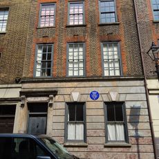
17, Princelet Street E1
381 m
24 And 26, Hanbury Street E1
379 m
35, Buxton Street E1
164 m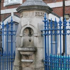
Drinking Fountain Christ Church School
387 m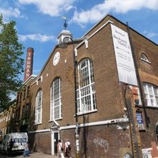
Vat House, Truman's Brewery
284 m
Former Stables At Truman's Brewery
284 m
18-22, Princelet Street E1
381 m
Engineer's House, Truman's Brewery
290 m
Parish Watch House At South West Corner Of Churchyard
372 m
Brick Lane Jamme Masjid (Former School And Vestry To Neuve Eglise)
359 m
21, 23, 25, Princelet Street E1
364 m
14-22, Deal Street E1
60 m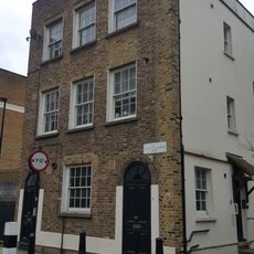
35, St Matthew's Row
364 m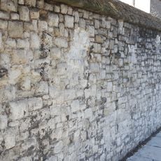
Garden Wall At St Anne's Presbytery
19 m
2-38, Cheshire Street E2
329 mReviews
Visited this place? Tap the stars to rate it and share your experience / photos with the community! Try now! You can cancel it anytime.
Discover hidden gems everywhere you go!
From secret cafés to breathtaking viewpoints, skip the crowded tourist spots and find places that match your style. Our app makes it easy with voice search, smart filtering, route optimization, and insider tips from travelers worldwide. Download now for the complete mobile experience.

A unique approach to discovering new places❞
— Le Figaro
All the places worth exploring❞
— France Info
A tailor-made excursion in just a few clicks❞
— 20 Minutes