
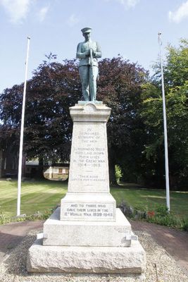
Llandrindod Wells War Memorial, war memorial in Powys, Wales
Location: Llandrindod Wells
Elevation above the sea: 215.9 m
GPS coordinates: 52.24043,-3.37747
Latest update: April 13, 2025 10:48
County Hall, Llandrindod Wells
422 m
National Cycle Collection
226 m
The Albert Hall
405 m
Our Lady of Ransom and the Holy Souls Church
503 m
Llandrindod Wells Library
173 m
Brynarlais
32 m
Powys Archives
439 m
Castell Collen
1.8 km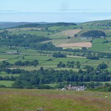
Little Hill
1.5 km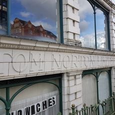
National Cycle Museum
216 m
Holy Trinity Parish Church, Spa Road
176 m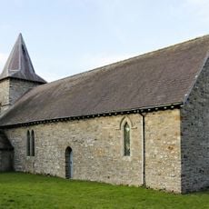
Church of St Michael, Cefnllys
2.5 km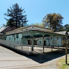
Pavilion at Spa Treatment Centre,Rock Park
496 m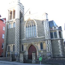
Ithon Road Church
392 m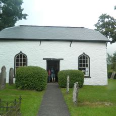
Caebach United Reformed Church
1.1 km
The Automobile Palace
226 m
Llandrindod Wells
868 m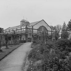
Grand Pavilion
166 m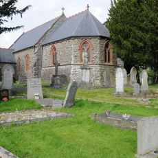
Church of St Llyr
2 km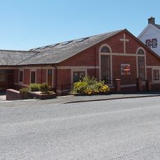
Tabernacle
286 m
Plaza Playhouse
208 m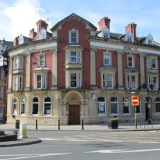
Midland Bank, Middleton Street , Llandrindod Wells
153 m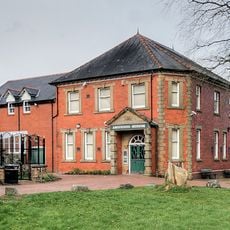
Radnorshire Museum
34 m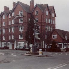
Hotel Commodore,Spa Road
185 m
Llandrindod Friends' Meeting House
197 m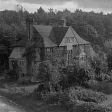
Mangalore,Spa Road East
250 m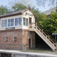
Llandrindod Wells Signal-Box
220 m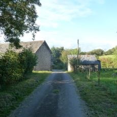
Barn at Cwm Farm
1.7 kmReviews
Visited this place? Tap the stars to rate it and share your experience / photos with the community! Try now! You can cancel it anytime.
Discover hidden gems everywhere you go!
From secret cafés to breathtaking viewpoints, skip the crowded tourist spots and find places that match your style. Our app makes it easy with voice search, smart filtering, route optimization, and insider tips from travelers worldwide. Download now for the complete mobile experience.

A unique approach to discovering new places❞
— Le Figaro
All the places worth exploring❞
— France Info
A tailor-made excursion in just a few clicks❞
— 20 Minutes