
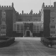
Slade, Grade II listed building in St Brides Major. Accessed via a long drive which leads NE off the road leading down to the heritage centre at Dunraven Park.
Location: St Brides Major
Location: St Bride's Major
Elevation above the sea: 43.5 m
GPS coordinates: 51.45011,-3.60682
Latest update: April 2, 2025 07:39

Dunraven Castle
834 m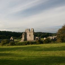
Ogmore Castle
3.4 km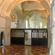
Ewenny Priory
5.1 km
Valeways Millennium Heritage Trail
1.3 km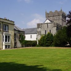
Ewenny Priory House
5.1 km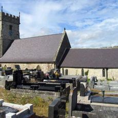
Church Of St Bridget
1.7 km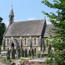
Church Of St Teilo
4 km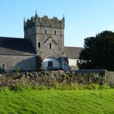
Church Of St Michael
5.1 km
Ewenny Priory Church
5.1 km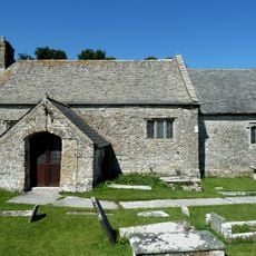
St Mary's Church
4.8 km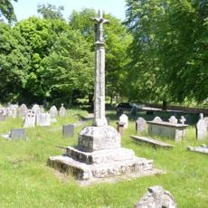
Preaching Cross in churchyard of St Teilo
3.9 km
Croes Antoni
1.8 km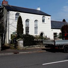
Tŷ Capel
5 km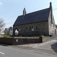
Ewenny Community Village Hall
4.6 km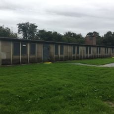
Hut 9 at former Prisoner of War Camp (198) and Special Camp XI, Island Farm
5.2 km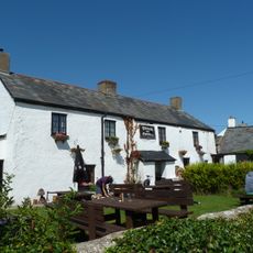
The Plough and Harrow
4.6 km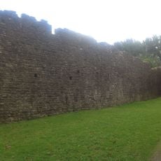
W Precinct Wall At Ewenny Priory (house)
4.9 km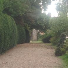
S Gatehouse At Ewenny Priory (house)
5 km
N Tower And Attached Stretch Of Precinct Wall At Ewenny Priory (house)
5.1 km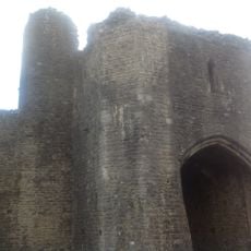
N Gatehouse At Ewenny Priory (house)
5 km
New Bridge
4.5 km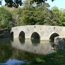
New Inn Bridge
4.9 km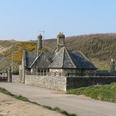
Seamouth Lodge
470 m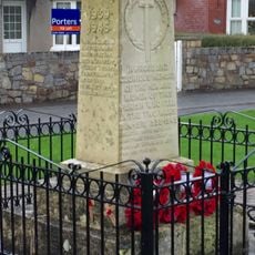
St Brides Major War Memorial
705 m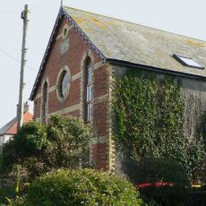
Ebenezer Calvinistic Methodist Chapel
4.5 km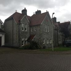
Nos.6 & 7 Merthyr Mawr Road, Former Preswylfa Children's Home
5.4 km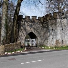
Top Lodge
4.5 km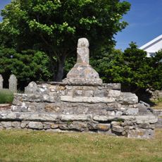
Remains of Preaching Cross, Church of St. James
4.1 kmReviews
Visited this place? Tap the stars to rate it and share your experience / photos with the community! Try now! You can cancel it anytime.
Discover hidden gems everywhere you go!
From secret cafés to breathtaking viewpoints, skip the crowded tourist spots and find places that match your style. Our app makes it easy with voice search, smart filtering, route optimization, and insider tips from travelers worldwide. Download now for the complete mobile experience.

A unique approach to discovering new places❞
— Le Figaro
All the places worth exploring❞
— France Info
A tailor-made excursion in just a few clicks❞
— 20 Minutes