
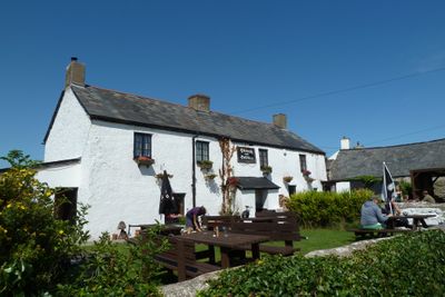
The Plough and Harrow, pub in Monknash, Vale of Glamorgan, Wales
Location: St Donats
Elevation above the sea: 76.7 m
Address: Monknash, Cowbridge, CF71 7QQ CF71 7QQ CF71 7QQ
Website: http://theploughmonknash.com
GPS coordinates: 51.42399,-3.55491
Latest update: March 7, 2025 11:14
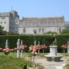
St Donat's Castle
2.9 km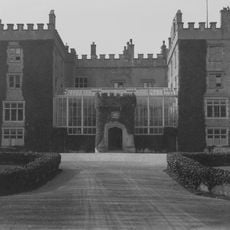
Dunraven Castle
3.9 km
Dimlands
4.2 km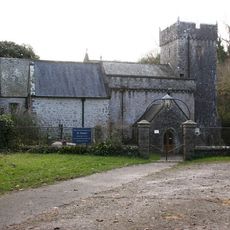
Church Of St Donat
2.9 km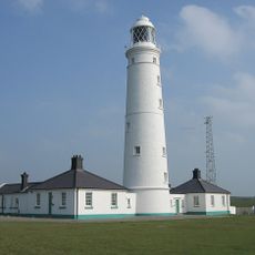
Nash Point Lighthouse
2.6 km
Valeways Millennium Heritage Trail
3.4 km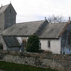
Church of the Holy Trinity
1.5 km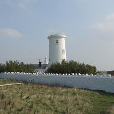
Old Nash Point Lighthouse
2.6 km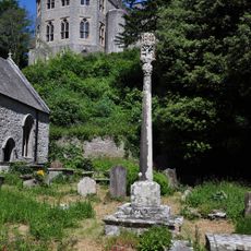
St Donat's Churchyard Cross
2.9 km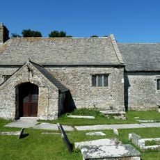
St Mary's Church
173 m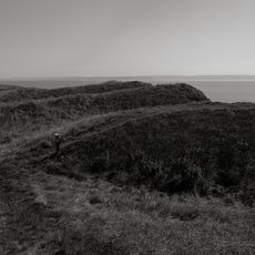
Nash Point Camp
2.2 km
Well opposite Downcross Farm
4.9 km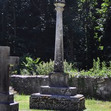
Nicholl-Carne Memorial Cross in Churchyard of Church of St Donat
2.9 km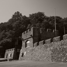
Sea Walls and Towers at St Donats Castle
3.2 km
Plymouth House
4.9 km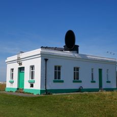
Fog Station at Nash Point Lighthouse
2.6 km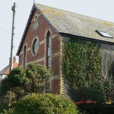
Ebenezer Calvinistic Methodist Chapel
435 m
Old Place (or Llantwit Major Castle)
4.9 km
West Farmhouse
4.8 km
Downcross Farmhouse including front garden walls
4.9 km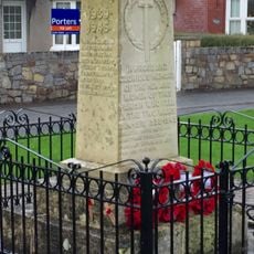
St Brides Major War Memorial
4.5 km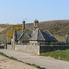
Seamouth Lodge
4.2 km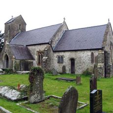
Holy Trinity Church
3.5 km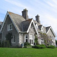
Slade
4.6 km
Ty-mawr
4.9 km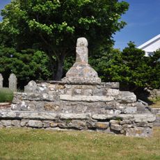
Remains of Preaching Cross, Church of St. James
1.6 km
Swimbridge Farmhouse with attached garden walls
4.9 km
Footbridge over brook at West entrance to churchyard of Church of St Illtud
5 kmReviews
Visited this place? Tap the stars to rate it and share your experience / photos with the community! Try now! You can cancel it anytime.
Discover hidden gems everywhere you go!
From secret cafés to breathtaking viewpoints, skip the crowded tourist spots and find places that match your style. Our app makes it easy with voice search, smart filtering, route optimization, and insider tips from travelers worldwide. Download now for the complete mobile experience.

A unique approach to discovering new places❞
— Le Figaro
All the places worth exploring❞
— France Info
A tailor-made excursion in just a few clicks❞
— 20 Minutes