
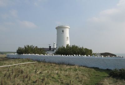
Old Nash Point Lighthouse, lighthouse, Grade II listed building in St Donats, Wales; situated on the cliff-top at Nash Point in a walled enclosure
Location: St Donats
Inception: 1832
Elevation above the sea: 33 m
Height: 20 m
GPS coordinates: 51.40111,-3.55667
Latest update: March 22, 2025 21:22
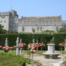
St Donat's Castle
1.6 km
St Illtyd's Church, Llantwit Major
4.9 km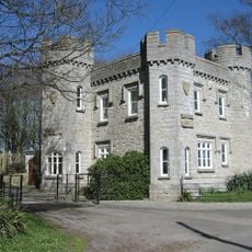
Dimlands
3.9 km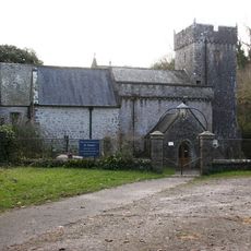
Church Of St Donat
1.6 km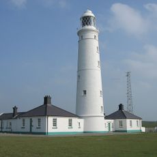
Nash Point Lighthouse
318 m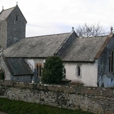
Church of the Holy Trinity
1.1 km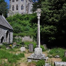
St Donat's Churchyard Cross
1.6 km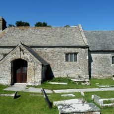
St Mary's Church
2.4 km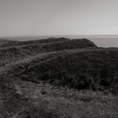
Nash Point Camp
514 m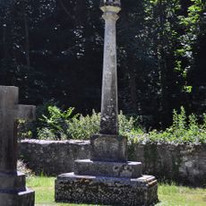
Nicholl-Carne Memorial Cross in Churchyard of Church of St Donat
1.5 km
The Old Police Station
4.8 km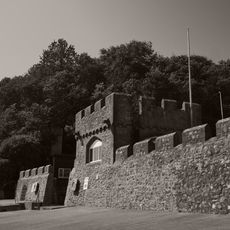
Sea Walls and Towers at St Donats Castle
1.8 km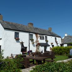
The Plough and Harrow
2.6 km
Old White Hart P.H.
4.9 km
West Farmhouse
4.8 km
Telephone Call-Box outside Old White Hart P.H.
4.9 km
Plymouth House
4.8 km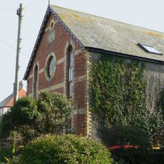
Ebenezer Calvinistic Methodist Chapel
3 km
Old Place (or Llantwit Major Castle)
4.9 km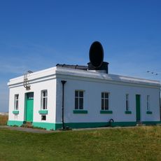
Fog Station at Nash Point Lighthouse
167 m
Cross in Churchyard of Church of St. Illtud
4.9 km
Footbridge over brook at West entrance to churchyard of Church of St Illtud
4.8 km
Chantry House
4.8 km
The Old School, including attached walling
4.9 km
Former Chantry Priest's House
4.8 km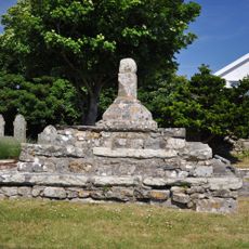
Remains of Preaching Cross, Church of St. James
4.2 km
The Gatehouse (porter's Room)
4.8 km
Swimbridge Farmhouse with attached garden walls
4.8 kmReviews
Visited this place? Tap the stars to rate it and share your experience / photos with the community! Try now! You can cancel it anytime.
Discover hidden gems everywhere you go!
From secret cafés to breathtaking viewpoints, skip the crowded tourist spots and find places that match your style. Our app makes it easy with voice search, smart filtering, route optimization, and insider tips from travelers worldwide. Download now for the complete mobile experience.

A unique approach to discovering new places❞
— Le Figaro
All the places worth exploring❞
— France Info
A tailor-made excursion in just a few clicks❞
— 20 Minutes