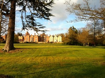
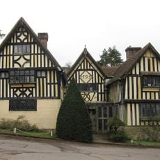
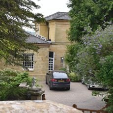
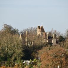
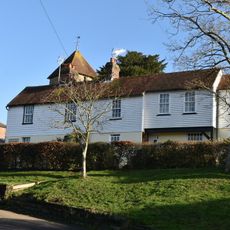
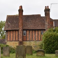
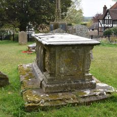
Swaylands, Grade II listed park and garden in Penshurst, Kent, England
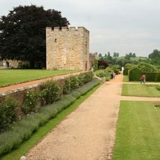
Swaylands is a Grade II listed estate in Penshurst encompassing around 40 acres of terraced gardens with rockery, stone features, a sunken rose garden, and multiple waterfalls across the grounds. The property now functions as residential apartments, preserving its historic exterior while modernizing the interior spaces to suit contemporary living.
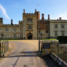
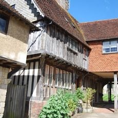
The estate began as Workhouse Farm in 1840 before William Woodgate transformed it into a villa for private residence. Edward Cropper later commissioned significant architectural expansions that shaped much of what visitors see today.
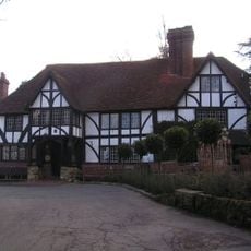
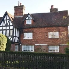
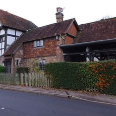
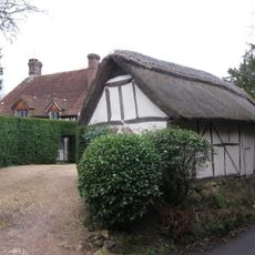
The estate reflects how English country houses evolved in design, featuring Tudor-style architecture with red brick and distinctive blue patterned brickwork on its facades. This architectural vocabulary remains visible today and shapes how the property appears to those passing through the grounds.
The property is situated on gently sloping grounds with pathways connecting the various garden areas throughout the site. Visitors should note that this is now a private residential development, so access to the gardens is limited to exterior views from public areas.
The rose garden was replanted from scratch in 1994, blending contemporary design with historical intent. The lawn terraces rest on an original system of stone retaining walls that have supported these layers for generations.
The community of curious travelers
AroundUs brings together thousands of curated places, local tips, and hidden gems, enriched daily by 60,000 contributors worldwide.