
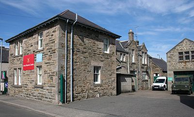
Union Street drill hall, Keith, military post in Moray, Scotland, UK
Location: Moray
Inception: 1908
GPS coordinates: 57.54263,-2.94876
Latest update: March 11, 2025 01:57
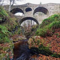
Craigmin Bridge
11.5 km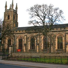
St Rufus Church, Keith
331 m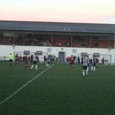
Kynoch Park
313 m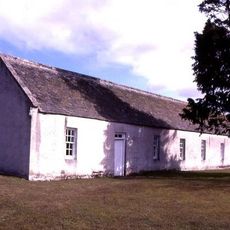
St Ninian's Church, Tynet
11.9 km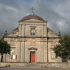
Keith, Chapel Street, St Thomas' Catholic Church
540 m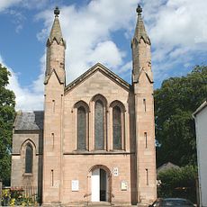
Fochabers, Gordon Episcopal Chapel And Parsonage
12 km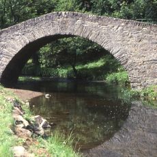
Old Bridge Of Keith, River Islay, Regent Street, Keith
555 m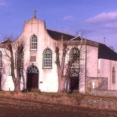
St Gregory's Church, Preshome
11 km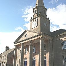
Fochabers, The Square, Bellie Parish Church
11.9 km
Pitlurg Castle
5.1 km
Milton Tower
686 m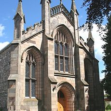
St. Mary's Fochabers
11.7 km
Mill Of Towie
4.3 km
Avochie Castle
10.8 km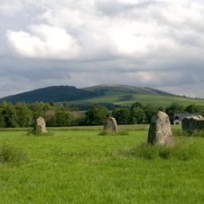
Rothiemay Castle,stone circle,400m NNW of
11.9 km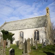
Glass Parish Church
10.7 km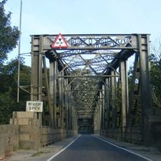
Road bridge over the River Spey, Boat o' Brig
11.6 km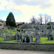
Keith Cemetery
573 m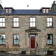
Keith, 11 Chapel Street, Cuthill House
494 m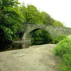
Bridge of Grange
4.4 km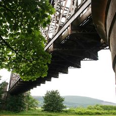
Boat O' Brig, Railway Bridge
11.5 km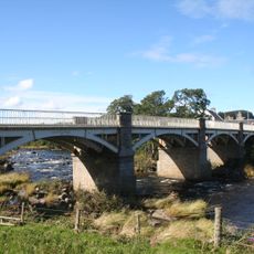
Milltown of Rothiemay, Cast-iron Bridge
11.7 km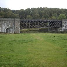
Deveron Viaduct
11.2 km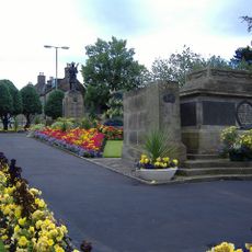
Keith, Land Street, War Memorial
178 m
Crooks Mill
2.5 km
Keith, 138-140 Mid Street, The Institute
191 m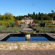
Gordon Castle, Walled Gardens
12 km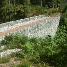
Meikle Dramlach Bridge
8.7 kmReviews
Visited this place? Tap the stars to rate it and share your experience / photos with the community! Try now! You can cancel it anytime.
Discover hidden gems everywhere you go!
From secret cafés to breathtaking viewpoints, skip the crowded tourist spots and find places that match your style. Our app makes it easy with voice search, smart filtering, route optimization, and insider tips from travelers worldwide. Download now for the complete mobile experience.

A unique approach to discovering new places❞
— Le Figaro
All the places worth exploring❞
— France Info
A tailor-made excursion in just a few clicks❞
— 20 Minutes