
Friars' Walk drill hall, Stafford, drill hall in Stafford, Stafford, England, UK
Location: Stafford
Inception: 1913
GPS coordinates: 52.80337,-2.11543
Latest update: May 1, 2025 09:25

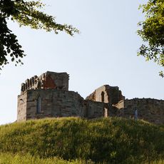
Stafford Castle
2.2 km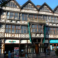
Ancient High House
337 m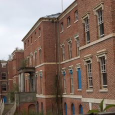
St George's Hospital
906 m
Church of St Mary
364 m
Shire Hall, Stafford
446 m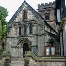
St Chad's Church, Stafford
254 m
Stafford Combined Court Centre
377 m
Broad Eye Windmill
628 m
Doxey Marshes
2 km
Picture House
130 m
St Austin's Church, Stafford
335 m
William Salt Library
383 m
County Buildings and Judges House
396 m
Old Borough Library, Stafford
41 m
Borough Hall
422 m
Church of St Paul
441 m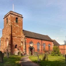
Church of Holy Trinity
2.1 km
Church of St Mary
1.9 km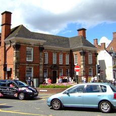
Post Office And Attached Railings And Gate
219 m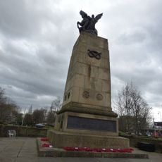
Staffordshire County War Memorial With Flanking Walls And Gates
439 m
The Bear Public House
354 m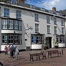
Swan Hotel
313 m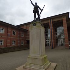
Stafford Borough War Memorial
380 m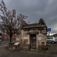
Forebridge Lock Up
168 m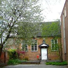
Friends' Meeting House
899 m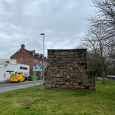
East Gate
421 m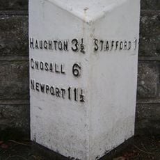
Milepost, Newport Road, E of West Way and W of Stafford town centre
1.3 km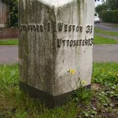
Milepost, Kingston Hill
1.5 kmVisited this place? Tap the stars to rate it and share your experience / photos with the community! Try now! You can cancel it anytime.
Discover hidden gems everywhere you go!
From secret cafés to breathtaking viewpoints, skip the crowded tourist spots and find places that match your style. Our app makes it easy with voice search, smart filtering, route optimization, and insider tips from travelers worldwide. Download now for the complete mobile experience.

A unique approach to discovering new places❞
— Le Figaro
All the places worth exploring❞
— France Info
A tailor-made excursion in just a few clicks❞
— 20 Minutes