
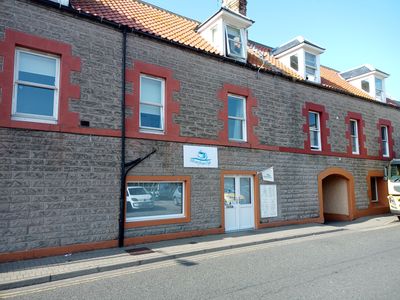
29, 30 Harbour Road, Eyemouth, architectural structure in Scottish Borders, Scotland, UK
Location: Scottish Borders
Location: Eyemouth
GPS coordinates: 55.87082,-2.08882
Latest update: March 7, 2025 06:00

Ayton Castle
3.3 km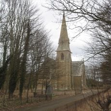
Ayton Parish Church
3.8 km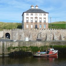
Gunsgreen House
270 m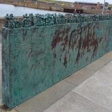
Women and Bairns, Eyemouth
227 m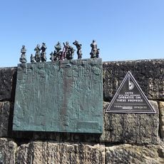
Women and Bairns, Burnmouth
3.6 km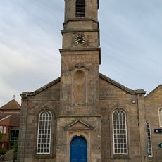
Eyemouth Museum
65 m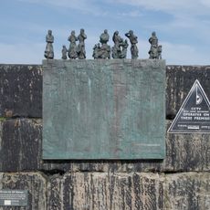
Burnmouth Harbour
3.5 km
Eyemouth Parish Church, Victoria Road, Eyemouth
198 m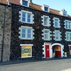
Collinville, Harbour Road, Eyemouth
184 m
2-3 Marine Parade, Eyemouth
246 m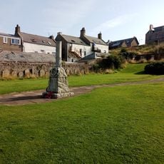
Eyemouth, High Street, Old Churchyard
293 m
7A Chapel Street, Eyemouth
166 m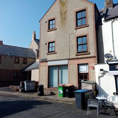
Joiner's Yard, Harbour Road, Old Quay, Eyemouth
232 m
Burnmouth, 14 Lower Burnmouth
3.7 km
Harbour Road, 3 Old Quay, Eyemouth
242 m
49 Harbour Road, Eyemouth
190 m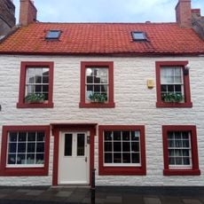
J Thomson Hairdresser, 6 High Street, Eyemouth
202 m
1 Marine Parade, Eyemouth
249 m
Burnmouth, 16 Lower Burnmouth
3.7 km
Eyemouth, High Street, Old Churchyard, Watch House
313 m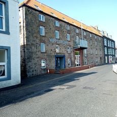
Eyemouth, Harbour Road, Royal National Mission To Deep Sea Fishermen
164 m
Burnmouth, 15 Lower Burnmouth
3.7 km
Burnmouth, 17 Lower Burnmouth
3.6 km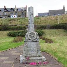
Eyemouth Fishing Disaster Memorial
225 m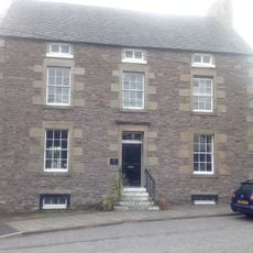
Moffat House
3.8 km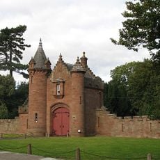
Ayton Castle, South Lodge With Screenwalls And Piers
3.8 km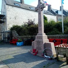
Eyemouth, Eyemouth War Memorial
210 m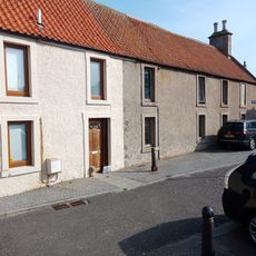
Eyemouth, 12 - 13 St Ella's Place
209 mVisited this place? Tap the stars to rate it and share your experience / photos with the community! Try now! You can cancel it anytime.
Discover hidden gems everywhere you go!
From secret cafés to breathtaking viewpoints, skip the crowded tourist spots and find places that match your style. Our app makes it easy with voice search, smart filtering, route optimization, and insider tips from travelers worldwide. Download now for the complete mobile experience.

A unique approach to discovering new places❞
— Le Figaro
All the places worth exploring❞
— France Info
A tailor-made excursion in just a few clicks❞
— 20 Minutes