
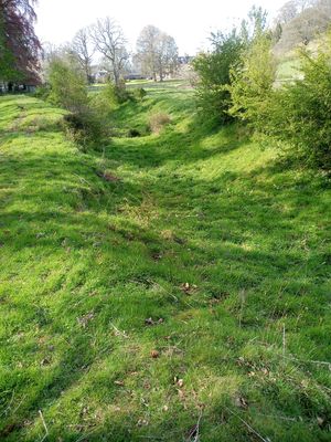
Muirhouselaw,homestead moat, architectural structure in Scottish Borders, Scotland, UK
Location: Scottish Borders
Location: Maxton
GPS coordinates: 55.54776,-2.58645
Latest update: March 7, 2025 07:39
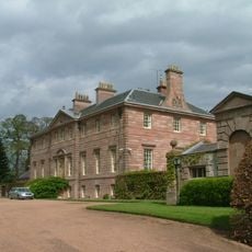
Mertoun House
3.7 km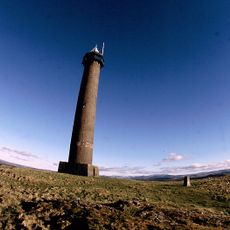
Penielheugh Monument
3.1 km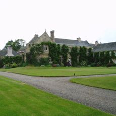
Monteviot House
4.1 km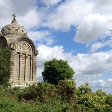
Monteath Mausoleum
2.4 km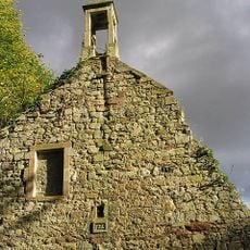
Ancrum Old Parish Church
3.6 km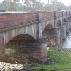
Mertoun Bridge
4.2 km
Douglas Mausoleum
2.4 km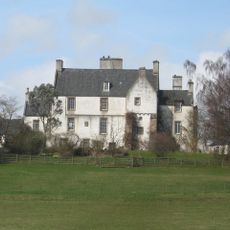
Lessudden House
4.4 km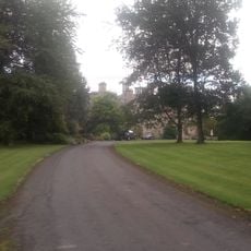
Ancrum, Kirklands
3.5 km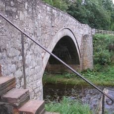
Ancrum, Ale Bridge
3.8 km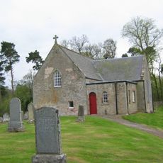
Maxton Church, Churchyard
2.9 km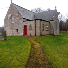
Maxton Kirk
2.9 km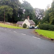
Lodge And Gatepiers, Kirklands, Ancrum
3.8 km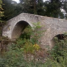
Ancrum, Bridge Over The Ale Water At Ancrum Old Parish Church
3.6 km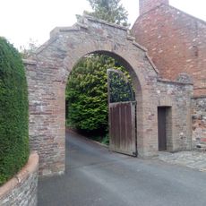
Entrance arch and gates, Braeheads House, St Boswells
4.4 km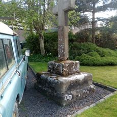
Maxton, Burgh Cross
2.5 km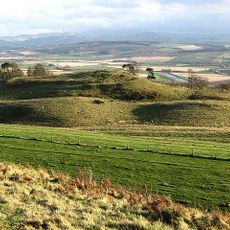
Peniel Heugh hill fort
3.1 km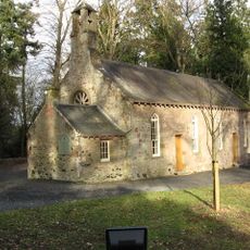
Mertoun Church
3.8 km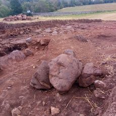
Mantle Walls, Ancrum, bishop's palace
3.8 km
Kitchen Garden, Harestanes Visitors' Centre, Monteviot Estate
4.1 km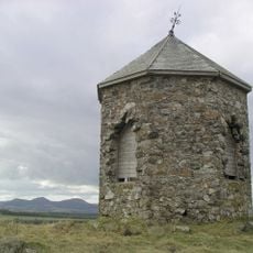
Baron's Folly, Down Law
1.7 km
Glebe House
2.8 km
Castle Hill
3.5 km
Harestanes Visitors' Centre, Monteviot Estate
4.1 km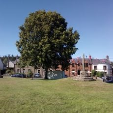
Ancrum, Market Cross
3.8 km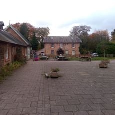
Farmhouse, Harestanes Visitors' Centre, Monteviot Estate
4.1 km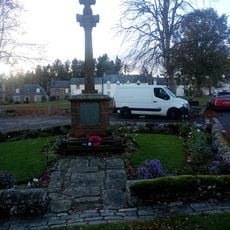
Ancrum, War Memorial
3.8 km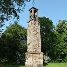
Monteviot House, Bell Tower
4 kmVisited this place? Tap the stars to rate it and share your experience / photos with the community! Try now! You can cancel it anytime.
Discover hidden gems everywhere you go!
From secret cafés to breathtaking viewpoints, skip the crowded tourist spots and find places that match your style. Our app makes it easy with voice search, smart filtering, route optimization, and insider tips from travelers worldwide. Download now for the complete mobile experience.

A unique approach to discovering new places❞
— Le Figaro
All the places worth exploring❞
— France Info
A tailor-made excursion in just a few clicks❞
— 20 Minutes